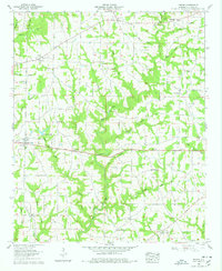
1958 Map of Simcoe
USGS Topo · Published 1978About this map
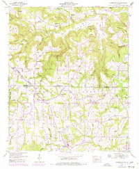
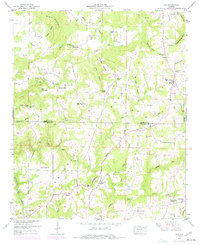
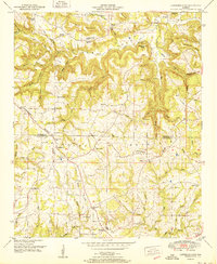
Simcoe and the surrounding agricultural uplands of Cullman County are defined by a dense network of country churches and small rural crossroads in the late 1950s. The landscape is carved by the Duck River and its numerous tributaries, including Duck Creek and Bear Creek, which necessitated crossings like Tanner Bridge. This area serves as a significant record for genealogists, as it documents the locations of essential community hubs such as Antioch Sch, Bethel Ch, and New Home Ch.
Find a feature on this map
55 named features on this map. Tap any name to fly to it.
Don’t see what you’re looking for? This feature index may not catch every label — zoom into the map to look around manually.
Map Details
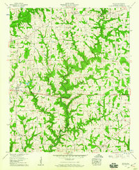
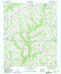
Editions of this 1958 Simcoe Map
3 editions found
Other maps of this area

1888 · Cullman
USGS Topo · 1:125,000

1892 · Cullman
USGS Topo · 1:125,000

1936 · Hulaco
USGS Topo · 1:24,000

1936 · Eva
USGS Topo · 1:24,000

1936 · Lawrence Cove
USGS Topo · 1:24,000

1936 · Holly Pond
USGS Topo · 1:24,000
1949 · Hulaco
USGS Topo · 1:24,000
1949 · Lawrence Cove
USGS Topo · 1:24,000
1949 · Eva
USGS Topo · 1:24,000
1951 · Lawrence Cove
USGS Topo · 1:24,000