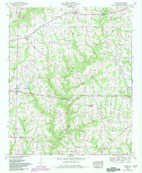
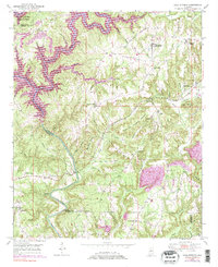
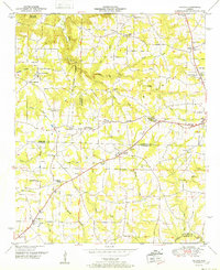
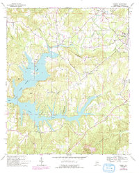
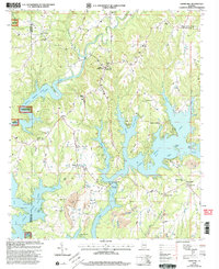
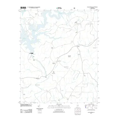
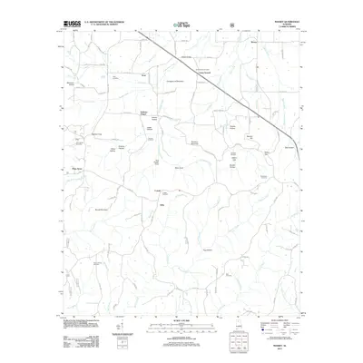
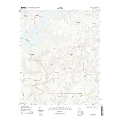
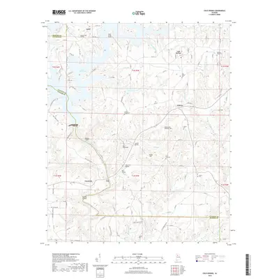
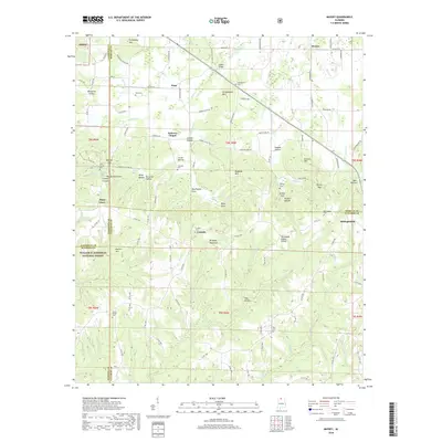
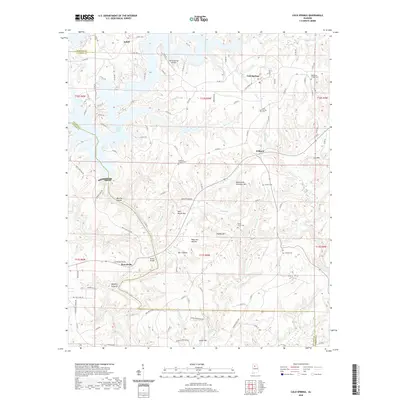
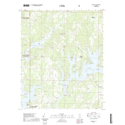
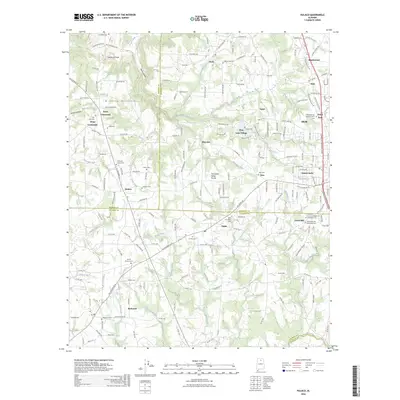
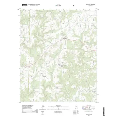
1958 Map of Simcoe
USGS Topo · Published 1983About this map
The Duck River meanders through this portion of Cullman County, shaping a landscape defined by small farming communities and country crossroads. Settled along the ridges and creek valleys, communities like Berlin and Simcoe served as local hubs, anchored by spiritual and social centers such as Simcoe Ch and Antioch Ch. The network of rural roads connects these hamlets to outlying areas like Holly Pond and Baileyton, with infrastructure like Taylor Bridge and Thornton Bridge facilitating travel across the river's various branches.
Find a feature on this map
54 named features on this map. Tap any name to fly to it.
Don’t see what you’re looking for? This feature index may not catch every label — zoom into the map to look around manually.
Map Details
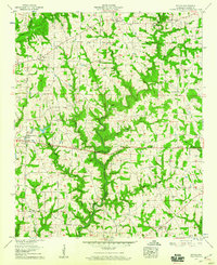
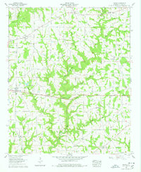
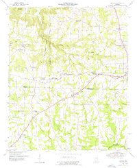
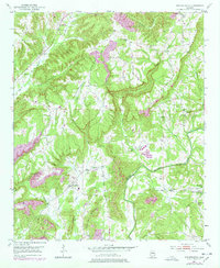
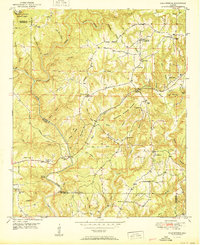
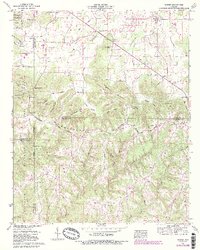
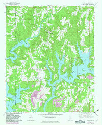
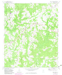
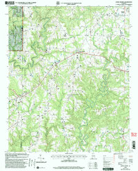
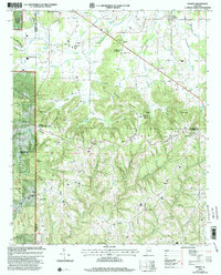
Editions of this 1958 Simcoe Map
3 editions found
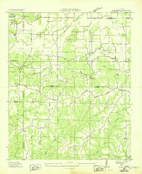
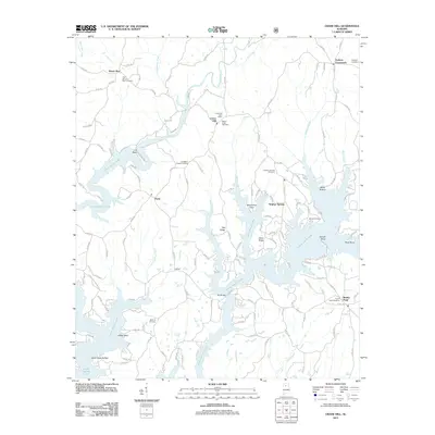
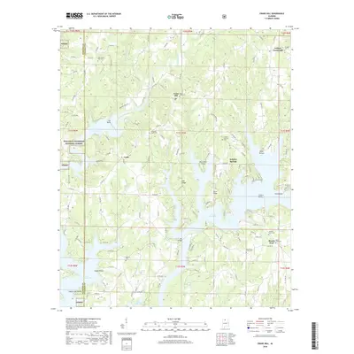
Historical Maps of Holly Pond Through Time
62 maps found

1936 Hulaco
Cullman County, AL
1936 Mc Kendry
Cullman County, AL
1949 Cold Springs
Cullman County, AL
1949 Hulaco
Cullman County, AL
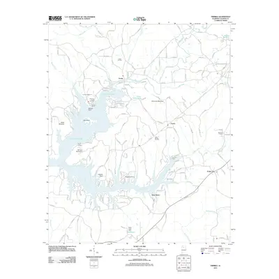
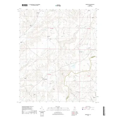
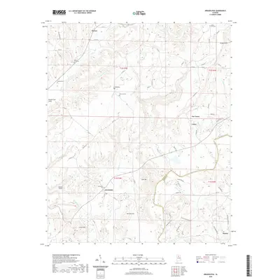
1951 Arkadelphia
Cullman County, AL
1951 Cold Springs
Cullman County, AL
1952 Hulaco
Cullman County, AL
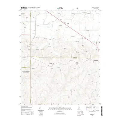
1958 Simcoe
Cullman County, AL
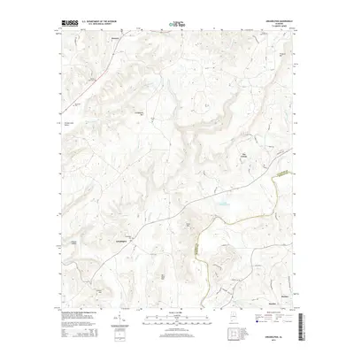
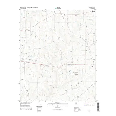
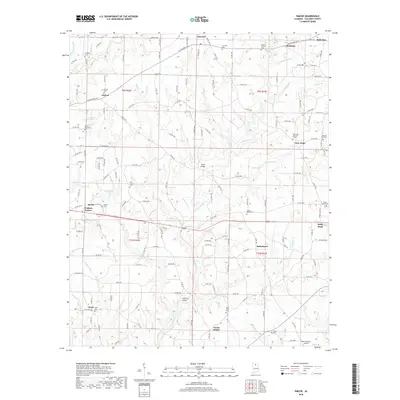
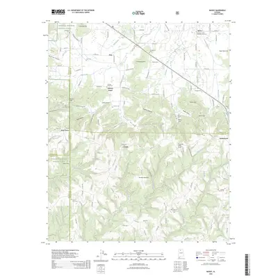
1960 Massey
Cullman County, AL
1969 Crane Hill
Cullman County, AL
1969 Jones Chapel
Cullman County, AL
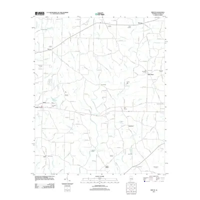
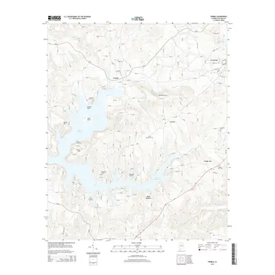
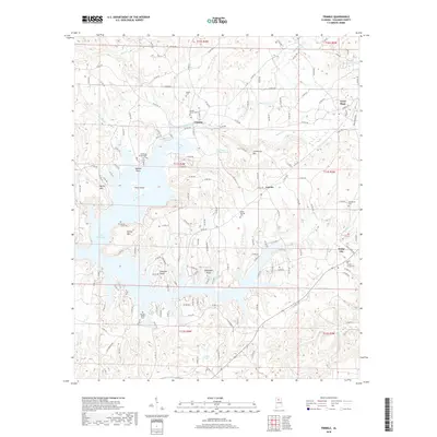
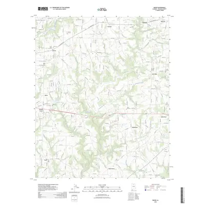
1969 Trimble
Cullman County, AL
1975 Arkadelphia
Cullman County, AL
1975 Hulaco
Cullman County, AL
1976 Hulaco
Cullman County, AL
2000 Crane Hill
Cullman County, AL
2000 Jones Chapel
Cullman County, AL
2000 Massey
Cullman County, AL
2011 Arkadelphia
Cullman County, AL
2011 Cold Springs
Cullman County, AL
2011 Crane Hill
Cullman County, AL
2011 Hulaco
Cullman County, AL
2011 Jones Chapel
Cullman County, AL
2011 Massey
Cullman County, AL
2011 Simcoe
Cullman County, AL
2011 Trimble
Cullman County, AL
2014 Arkadelphia
Cullman County, AL
2014 Cold Springs
Cullman County, AL
2014 Crane Hill
Cullman County, AL
2014 Hulaco
Cullman County, AL
2014 Jones Chapel
Cullman County, AL
2014 Massey
Cullman County, AL
2014 Simcoe
Cullman County, AL
2014 Trimble
Cullman County, AL
2018 Arkadelphia
Cullman County, AL
2018 Cold Springs
Cullman County, AL
2018 Crane Hill
Cullman County, AL
2018 Hulaco
Cullman County, AL
2018 Jones Chapel
Cullman County, AL
2018 Massey
Cullman County, AL
2018 Simcoe
Cullman County, AL
2018 Trimble
Cullman County, AL
2020 Arkadelphia
Cullman County, AL
2020 Cold Springs
Cullman County, AL
2020 Hulaco
Cullman County, AL
2020 Simcoe
Cullman County, AL
2020 Trimble
Cullman County, AL
2021 Crane Hill
Cullman County, AL
2021 Jones Chapel
Cullman County, AL
2021 Massey
Cullman County, AL
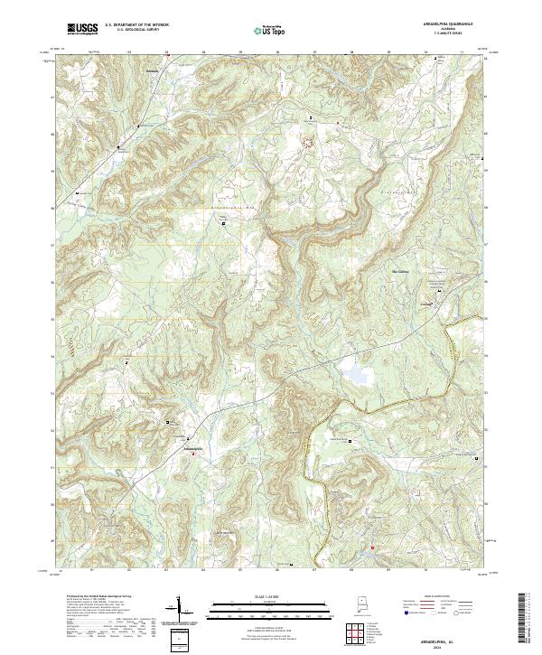
2024 Arkadelphia
Cullman County, AL
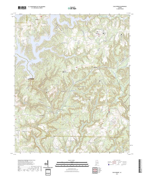
2024 Cold Springs
Cullman County, AL
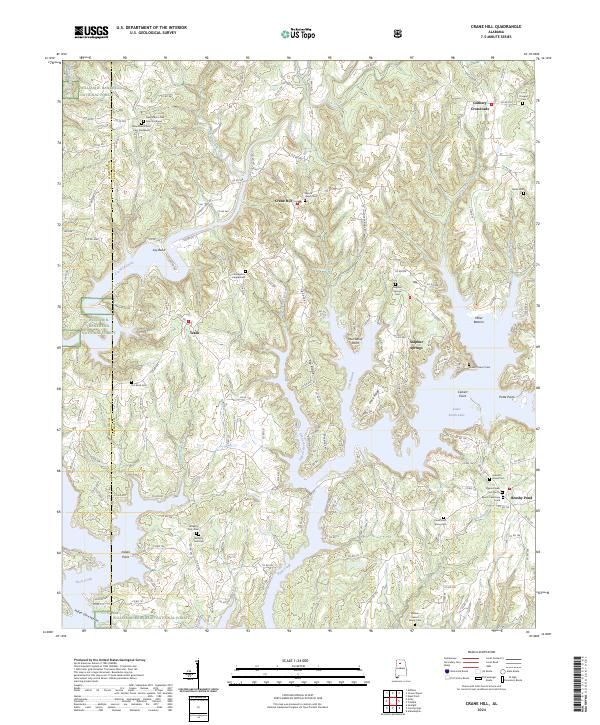
2024 Crane Hill
Cullman County, AL
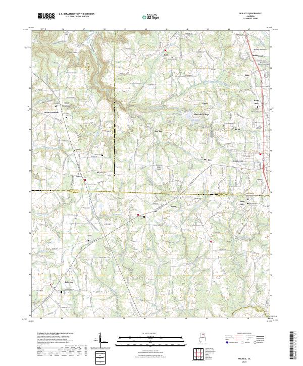
2024 Hulaco
Cullman County, AL
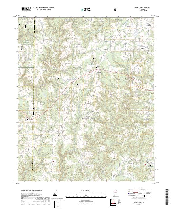
2024 Jones Chapel
Cullman County, AL
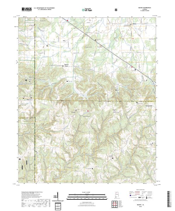
2024 Massey
Cullman County, AL
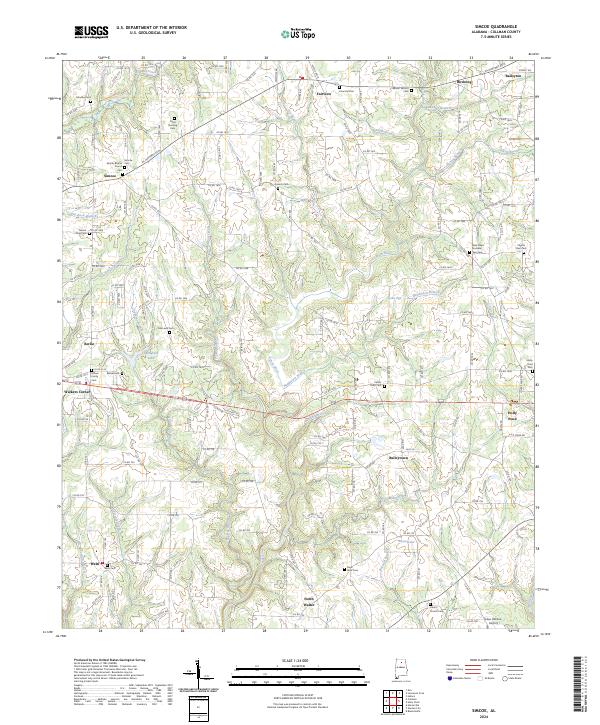
2024 Simcoe
Cullman County, AL
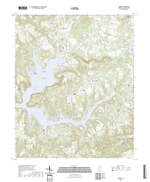
2024 Trimble
Cullman County, AL
2026 Hulaco
Cullman County, AL
2026 Jones Chapel
Cullman County, AL
2026 Massey
Cullman County, AL
2026 Simcoe
Cullman County, AL