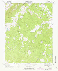
1967 Map of Simeon
USGS Topo · Published 1976About this map
Carters Mountain and Patterson Mountain anchor this Piedmont landscape, which is defined by its deep historical associations and rural settlement patterns. The map highlights significant estates such as Ash Lawn and Simeon, alongside small community hubs like Overton and Blenheim. Religious life is well-documented through a series of country churches including New Bethel Ch, Mt Eagle Ch, and Middle Oak Ch. The Rivanna River cuts through the northeast, joined by a dense network of tributaries including Buck Island Creek and Henderson Creek. Industrial activity is noted at a Quarry near Slate Creek, while modern infrastructure appears in the form of pipelines and the University of Virginia Airport. The transition across the Albemarle and Fluvanna county line reveals a landscape of wooded ridges and small-scale farming as it existed in the mid-1960s and 1970s.
Find a feature on this map
38 named features on this map. Tap any name to fly to it.
Don’t see what you’re looking for? This feature index may not catch every label — zoom into the map to look around manually.
Map Details
Editions of this 1967 Simeon Map
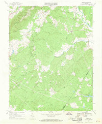
2 editions found
Other maps of this area

1891 · Palmyra
USGS Topo · 1:125,000

1892 · Buckingham
USGS Topo · 1:125,000

1892 · Gordonsville
USGS Topo · 1:125,000

1892 · Harrisonburg
USGS Topo · 1:125,000

1895 · Palmyra
USGS Topo · 1:125,000

1897 · Palmyra
USGS Topo · 1:125,000

1929 · Covesville
USGS Topo · 1:62,500

1931 · University
USGS Topo · 1:62,500

1935 · Charlottesville
USGS Topo · 1:62,500

1935 · Charlottesville And Vicinity
USGS Topo · 1:31,680