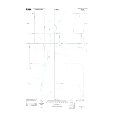
2013 Map of Simes Creek
USGS Topo · Published 2013About this map
Hamilton Falls serves as a central landmark in this drainage basin where the North Fork Eau Claire River winds through the rural landscape. The area is defined by a dense network of tributaries including Simes Cr, Beeman Cr, and Swim Cr, reflecting a terrain shaped by persistent watercourses. The transportation network is primarily composed of county highways and local routes like Hamilton Falls Rd and Co Hwy-H, which connect the scattered homesteads and woodlots. In the southwestern portion of the map, the Wilson Lookout Tower stands near the headwaters of Shambaugh Cr, a reminder of the region's managed forests. This survey captures a specific moment in the early 21st century before modern development significantly altered the rural character of this northern Wisconsin landscape.
Find a feature on this map
36 named features on this map. Tap any name to fly to it.
Don’t see what you’re looking for? This feature index may not catch every label — zoom into the map to look around manually.
Map Details
Editions of this 2013 Simes Creek Map
This is the sole edition of this map. No revisions or reprints were ever made.
Other maps of this area

1935 · Osseo
USGS Topo · 1:48,000

1940 · Osseo
USGS Topo · 1:62,500

1948 · Fairchild
USGS Topo · 1:62,500

1949 · Fairchild
USGS Topo · 1:62,500

1952 · Cadott
USGS Topo · 1:62,500

1952 · Stanley
USGS Topo · 1:62,500

1953 · Eau Claire
USGS Topo · 1:250,000

1958 · Eau Claire
USGS Topo · 1:250,000

1964 · Eau Claire
USGS Topo · 1:250,000
1968 · Osseo
USGS Topo · 1:62,500