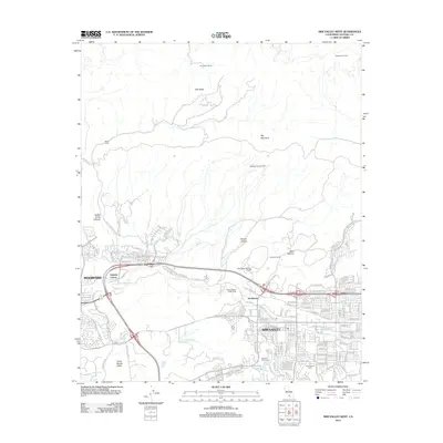
2012 Map of Simi Valley West
USGS Topo · Published 2012About this map
Simi Valley and Moorpark define the urban corridors of this Ventura County landscape, where residential developments meet the steep slopes of Oak Ridge and Big Mountain. The map illustrates a complex transition between suburban expansion and active resource extraction, notably at the Big Mountain Oil Field and Oakridge Oil Field. Historic landholdings such as Ormandez Ranch and Berrington Ranch persist on the outskirts, while the community of Strathearn and the Virginia Colony neighborhood reflect the area's diverse settlement history. Waterways like Arroyo Simi and Arroyo Santa Rosa cut through the valleys, providing the geographical framework for the local infrastructure. Local recreation and services are well-documented, from the Sinaloa Golf Course and Sinaloa Lake to the Assumption Cem and the Simi Valley Sanitary Landfill.
Find a feature on this map
139 named features on this map. Tap any name to fly to it.
Don’t see what you’re looking for? This feature index may not catch every label — zoom into the map to look around manually.
Map Details
Editions of this 2012 Simi Valley West Map
This is the sole edition of this map. No revisions or reprints were ever made.
Other maps of this area

1900 · Triunfo Pass
USGS Topo · 1:62,500

1900 · Piru
USGS Topo · 1:62,500

1903 · Calabasas
USGS Topo · 1:62,500

1903 · Camulos
USGS Topo · 1:125,000

1903 · Santa Susana
USGS Topo · 1:62,500

1921 · Piru
USGS Topo · 1:62,500

1921 · Triunfo Pass
USGS Topo · 1:62,500

1941 · Piru
USGS Topo · 1:62,500
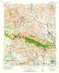
1941 · Santa Susana
USGS Topo · 1:62,500
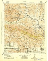
1943 · Santa Susana
USGS Topo · 1:62,500