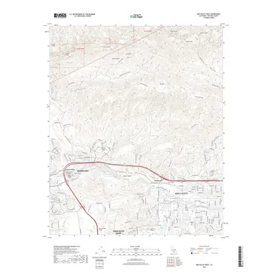
2018 Map of Simi Valley West
USGS Topo · Published 2018About this map
Moorpark and the western reaches of Simi Valley occupy a landscape defined by dramatic topographical transitions between the Oak Ridge heights and the fertile Tierra Rejada Valley. In this 2018 perspective, the residential expansion of Thousand Oaks and Moorpark is set against a network of technical fire roads like Edison Fire Rd and Happy Camp Canyon Fire Rd, which crisscross the steep northern canyons. The map documents the educational and spiritual hubs of the community, including Moorpark Community College and the Assumption Cem. Waterways such as the Arroyo Simi and Arroyo Santa Rosa carve through the valley floors, paralleled by modern infrastructure like the Arroyo Simi Equestrian Trail, reflecting the area's blend of suburban development and preserved open space.
Find a feature on this map
45 named features on this map. Tap any name to fly to it.
Don’t see what you’re looking for? This feature index may not catch every label — zoom into the map to look around manually.
Map Details
Editions of this 2018 Simi Valley West Map
This is the sole edition of this map. No revisions or reprints were ever made.
Other maps of this area

1900 · Triunfo Pass
USGS Topo · 1:62,500

1900 · Piru
USGS Topo · 1:62,500

1903 · Calabasas
USGS Topo · 1:62,500

1903 · Camulos
USGS Topo · 1:125,000

1903 · Santa Susana
USGS Topo · 1:62,500

1921 · Piru
USGS Topo · 1:62,500

1921 · Triunfo Pass
USGS Topo · 1:62,500

1941 · Piru
USGS Topo · 1:62,500
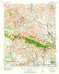
1941 · Santa Susana
USGS Topo · 1:62,500
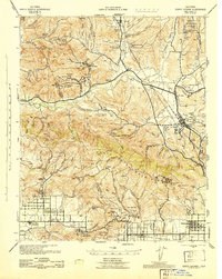
1943 · Santa Susana
USGS Topo · 1:62,500