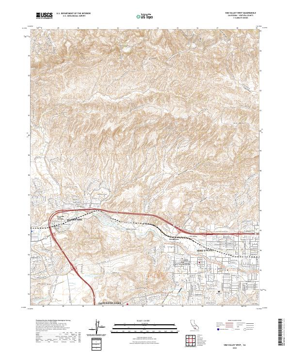
2022 Map of Simi Valley West
USGS Topo · Published 2022About this map
Simi Valley and Moorpark dominate this landscape, showcasing the suburban development of eastern Ventura County. The urban corridor follows the path of the Arroyo Simi, bounded by the prominent heights of Oak Ridge to the north and the Simi Hills to the south. Local history is anchored by the El Rancho Simi Pioneer Cem and the small settlement of Strathearn, while the academic presence of Moorpark College marks the transition from town to canyon country.
Find a feature on this map
164 named features on this map. Tap any name to fly to it.
Don’t see what you’re looking for? This feature index may not catch every label — zoom into the map to look around manually.
Map Details
Editions of this 2022 Simi Valley West Map
This is the sole edition of this map. No revisions or reprints were ever made.
Other maps of this area

1900 · Triunfo Pass
USGS Topo · 1:62,500

1900 · Piru
USGS Topo · 1:62,500

1903 · Calabasas
USGS Topo · 1:62,500

1903 · Camulos
USGS Topo · 1:125,000

1903 · Santa Susana
USGS Topo · 1:62,500

1921 · Piru
USGS Topo · 1:62,500

1921 · Triunfo Pass
USGS Topo · 1:62,500

1941 · Piru
USGS Topo · 1:62,500
1941 · Santa Susana
USGS Topo · 1:62,500
1943 · Santa Susana
USGS Topo · 1:62,500