Loading...
Loading map...2024 Map of Simmesport
USGS Topo · Published 2024About this map
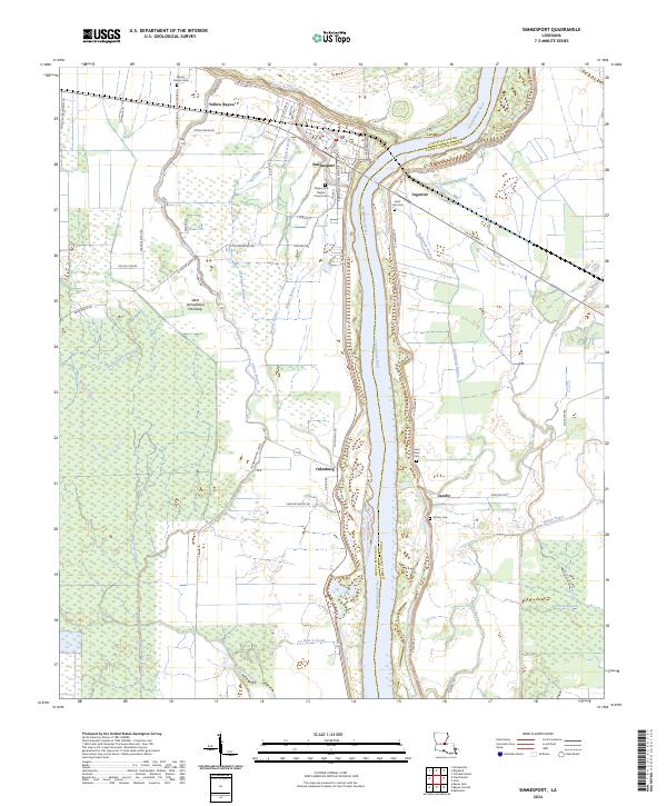
The Atchafalaya River dominates this landscape, serving as the boundary between Avoyelles Parish and Pointe Coupee Parish. On the western bank, the town of Simmesport sits at a critical junction of waterways and roads, including LA Highway 1. The surrounding lowlands are defined by the West Atchafalaya Floodway, a complex network of wetlands and seasonal drainages such as Beauregard Slough and Yellow Bayou.
Find a feature on this map
76 named features on this map. Tap any name to fly to it.
Don’t see what you’re looking for? This feature index may not catch every label — zoom into the map to look around manually.
Map Details
Date Portrayed2024
Date Published2024
PublisherU.S. Geological Survey
Map TypeTopographic
Scale1:24000
Physical Dimensions24 x 29 inches
Editions of this 2024 Simmesport Map
This is the sole edition of this map. No revisions or reprints were ever made.
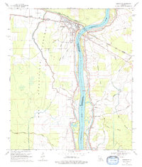
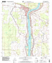
Historical Maps of Odenburg Through Time
3 maps found
Featured Locations
Source Details
SourceU.S. Geological Survey
CopyrightPublic Domain