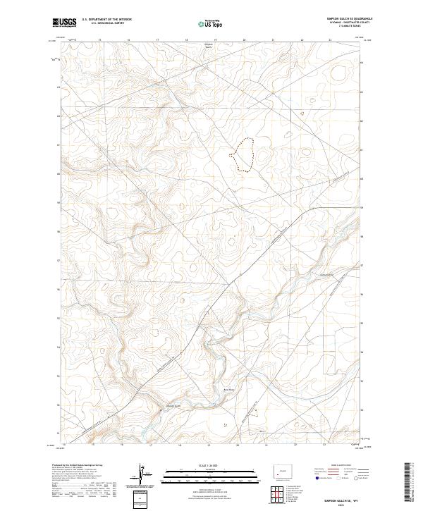
2021 Map of Simpson Gulch SE
USGS Topo · Published 2021About this map
Big Sandy River meanders through this high-desert landscape of Simpson Gulch, providing the primary drainage for the surrounding terrain. The map reveals a land defined by its historic transportation corridors, most notably the Green River-South Pass Stage Rd, a route deeply tied to the early migration and freighting history of the American West. These vintage tracks intersect with more modern infrastructure like Lower Farson Cutoff Rd, showing the evolution of movement through this part of Sweetwater County. The drainage patterns are clearly etched into the topography, with Carlson Draw and Bone Draw feeding toward the river. This 2021 study documents the contemporary state of these ancient routes, preserving the layout of the land where cattle ranching and migration history once converged.
Find a feature on this map
13 named features on this map. Tap any name to fly to it.
Don’t see what you’re looking for? This feature index may not catch every label — zoom into the map to look around manually.
Map Details
Editions of this 2021 Simpson Gulch SE Map
This is the sole edition of this map. No revisions or reprints were ever made.
Other maps of this area

1954 · Rock Springs
USGS Topo · 1:250,000

1955 · Lander
USGS Topo · 1:250,000

1958 · Lander
USGS Topo · 1:250,000

1958 · Rock Springs
USGS Topo · 1:250,000

1961 · Lander
USGS Topo · 1:250,000

1962 · Rock Springs
USGS Topo · 1:250,000

1963 · Gasson Bridge
USGS Topo · 1:24,000

1963 · Pittman Well
USGS Topo · 1:24,000

1968 · Farson
USGS Topo · 1:24,000

1968 · Twelvemile Knoll
USGS Topo · 1:24,000