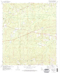
1974 Map of Simpson South
USGS Topo · Published 1975About this map
The Fort Polk Military Reservation dominates the southern half of this mid-1970s landscape, illustrating the significant military footprint in Vernon Parish. This area is characterized by military-specific infrastructure such as Armor Lake, Artillery Lake, and Infantry Lake, alongside observation points like the Range 31 Tower. North of the reservation boundary, the topography is defined by the winding course of the Calcasieu River and its numerous tributaries, including Mims Creek and Big Branch.
Find a feature on this map
38 named features on this map. Tap any name to fly to it.
Don’t see what you’re looking for? This feature index may not catch every label — zoom into the map to look around manually.
Map Details
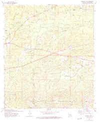
Editions of this 1974 Simpson South Map
2 editions found
Other maps of this area

1937 · Chopin SW
USGS Topo · 1:31,680

1941 · Slagle
USGS Topo · 1:62,500

1942 · Kisatchie
USGS Topo · 1:62,500

1943 · Leander
USGS Topo · 1:62,500

1943 · Kisatchie
USGS Topo · 1:62,500

1944 · Chopin
USGS Topo · 1:62,500

1944 · Slagle
USGS Topo · 1:62,500

1948 · Chopin
USGS Topo · 1:62,500

1953 · Alexandria
USGS Topo · 1:250,000
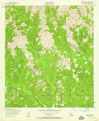
1954 · Birds Creek
USGS Topo · 1:24,000