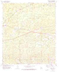
1974 Map of Simpson South
USGS Topo · Published 1975About this map
The Calcasieu River winds through central Vernon Parish in this mid-1970s survey, marking a landscape defined by timber-era infrastructure and rural community centers. Small settlements like Simpson, Mayo, and Hicks anchor the map, connected by a network of roads and a prominent Old Railroad Grade that speaks to the region's logging history. The southern half of the quadrangle is dominated by the Fort Polk Military Reservation, featuring tactical landmarks such as Artillery Lake, Infantry Lake, and the Range 331 Tower.
Find a feature on this map
46 named features on this map. Tap any name to fly to it.
Don’t see what you’re looking for? This feature index may not catch every label — zoom into the map to look around manually.
Map Details
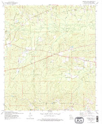
Editions of this 1974 Simpson South Map
2 editions found
Other maps of this area

1937 · Chopin SW
USGS Topo · 1:31,680

1941 · Slagle
USGS Topo · 1:62,500

1942 · Kisatchie
USGS Topo · 1:62,500

1943 · Leander
USGS Topo · 1:62,500

1943 · Kisatchie
USGS Topo · 1:62,500

1944 · Chopin
USGS Topo · 1:62,500

1944 · Slagle
USGS Topo · 1:62,500

1948 · Chopin
USGS Topo · 1:62,500

1953 · Alexandria
USGS Topo · 1:250,000
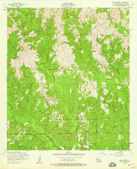
1954 · Birds Creek
USGS Topo · 1:24,000