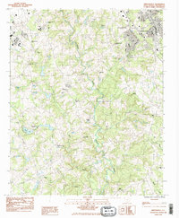
1983 Map of Simpsonville
USGS Topo · Published 1983About this map
Simpsonville anchor the northern edge of this Piedmont landscape, appearing here as it developed in the early 1980s. The Seaboard rail line cuts through the heart of the town, tracing a path past Morton Sch and various municipal facilities. Beyond the town limits, the topography is defined by the winding course of the Reedy River and its numerous tributaries, including Huff Creek and Baker Creek. This era of the landscape is marked by a blend of long-standing rural institutions and newer state facilities.
Find a feature on this map
32 named features on this map. Tap any name to fly to it.
Don’t see what you’re looking for? This feature index may not catch every label — zoom into the map to look around manually.
Map Details
Editions of this 1983 Simpsonville Map
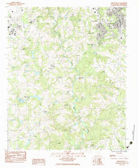
2 editions found
Other maps of this area

1935 · Greer
USGS Topo · 1:48,000

1935 · Greenville
USGS Topo · 1:48,000

1938 · Greenville
USGS Topo · 1:62,500

1938 · Greer
USGS Topo · 1:62,500

1954 · Greenville
USGS Topo · 1:250,000

1957 · Fountain Inn
USGS Topo · 1:62,500

1957 · Greenville
USGS Topo · 1:24,000

1957 · Williamston
USGS Topo · 1:62,500

1957 · Greer
USGS Topo · 1:62,500

1957 · Greenville
USGS Topo · 1:62,500
Featured Places
- Mauldin, SC
- Simpsonville, SC
- Cherokee Heights, Simpsonville
- Westwood, Simpsonville
- Greenville County, SC