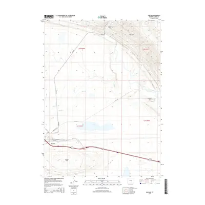
2015 Map of Sinclair
USGS Topo · Published 2015About this map
Sinclair occupies the southern reach of this Wyoming landscape, positioned along a major transportation corridor defined by Lincoln Ave and Union Ave. The town is characterized by its organized street grid, including Washington Ave, which serves as a gateway to the high desert terrain to the north. Water management is central to this arid environment, evidenced by the presence of Sugar Cr and the Parco Ditch, which redirect flow across the plains.
Find a feature on this map
21 named features on this map. Tap any name to fly to it.
Don’t see what you’re looking for? This feature index may not catch every label — zoom into the map to look around manually.
Map Details
Editions of this 2015 Sinclair Map
This is the sole edition of this map. No revisions or reprints were ever made.
Other maps of this area

1893 · Fort Steele
USGS Topo · 1:125,000

1914 · Walcott
USGS Topo · 1:62,500

1953 · Sinclair
USGS Topo · 1:24,000

1953 · Rawlins
USGS Topo · 1:24,000

1953 · Lone Haystack Mountain
USGS Topo · 1:24,000

1953 · Rawlins NW
USGS Topo · 1:24,000

1954 · Rawlins
USGS Topo · 1:250,000

1955 · Savage Ranch
USGS Topo · 1:24,000

1956 · Bolten Ranch
USGS Topo · 1:62,500

1958 · Rawlins
USGS Topo · 1:250,000