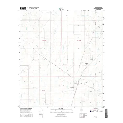
2015 Map of Singer
USGS Topo · Published 2015About this map
The low-lying piney woods of Beauregard Parish are defined by an intricate network of wetlands and sluggish waterways, including the expansive Bear Head Marsh and Persimmon Marsh. The small settlements of Singer and Newlin serve as the primary hubs of human activity in this corner of Louisiana, connected by a grid of rural roads and timber tracks. This 2015 survey reveals a landscape where the natural drainage patterns of Beckwith Cr and Bear Head Cr dictate the layout of local infrastructure.
Find a feature on this map
47 named features on this map. Tap any name to fly to it.
Don’t see what you’re looking for? This feature index may not catch every label — zoom into the map to look around manually.
Map Details
Editions of this 2015 Singer Map
This is the sole edition of this map. No revisions or reprints were ever made.
Other maps of this area

1946 · Merryville
USGS Topo · 1:31,680

1947 · Singer
USGS Topo · 1:31,680

1947 · Pujo
USGS Topo · 1:31,680

1947 · Oretta
USGS Topo · 1:31,680

1947 · DeRidder
USGS Topo · 1:31,680

1947 · Kernan
USGS Topo · 1:31,680

1947 · Hyatt
USGS Topo · 1:31,680

1947 · Bivens
USGS Topo · 1:31,680

1947 · Beckwith School
USGS Topo · 1:31,680

1949 · Kernan
USGS Topo · 1:31,680