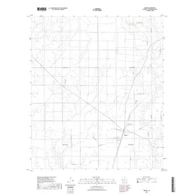
2018 Map of Singer
USGS Topo · Published 2018About this map
Singer occupies the heart of this Louisiana landscape, situated in a region defined by complex drainage systems and bottomland environments. The local geography is shaped by water, with Bear Head Cr and Beckwith Cr meandering through extensive wetlands like Bear Head Marsh and Persimmon Marsh. These features, along with Gum Slough and Buxton Marsh, suggest a terrain prone to seasonal shifts and thick vegetation.
Find a feature on this map
44 named features on this map. Tap any name to fly to it.
Don’t see what you’re looking for? This feature index may not catch every label — zoom into the map to look around manually.
Map Details
Editions of this 2018 Singer Map
This is the sole edition of this map. No revisions or reprints were ever made.
Other maps of this area

1946 · Merryville
USGS Topo · 1:31,680

1947 · Singer
USGS Topo · 1:31,680

1947 · Pujo
USGS Topo · 1:31,680

1947 · Oretta
USGS Topo · 1:31,680

1947 · DeRidder
USGS Topo · 1:31,680

1947 · Kernan
USGS Topo · 1:31,680

1947 · Hyatt
USGS Topo · 1:31,680

1947 · Bivens
USGS Topo · 1:31,680

1947 · Beckwith School
USGS Topo · 1:31,680

1949 · Kernan
USGS Topo · 1:31,680