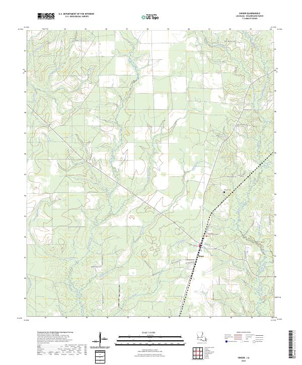
2024 Map of Singer
USGS Topo · Published 2024About this map
Singer serves as the primary hub of this Beauregard Parish landscape, where a network of family-named roads reveals a long history of rural settlement. The geography is defined by a dense system of waterways and low-lying wetlands, including the expansive Persimmon Marsh, Bear Head Marsh, and Buxton Marsh. These marshlands are fed by a intricate web of local drainages such as Bear Head Creek, Beckwith Creek, and Hoosier Creek, creating a complex hydrographic pattern typical of southwestern Louisiana's piney woods and coastal plains.
Find a feature on this map
45 named features on this map. Tap any name to fly to it.
Don’t see what you’re looking for? This feature index may not catch every label — zoom into the map to look around manually.
Map Details
Editions of this 2024 Singer Map
This is the sole edition of this map. No revisions or reprints were ever made.
Other maps of this area

1946 · Merryville
USGS Topo · 1:31,680

1947 · Singer
USGS Topo · 1:31,680

1947 · Pujo
USGS Topo · 1:31,680

1947 · Oretta
USGS Topo · 1:31,680

1947 · DeRidder
USGS Topo · 1:31,680

1947 · Kernan
USGS Topo · 1:31,680

1947 · Hyatt
USGS Topo · 1:31,680

1947 · Bivens
USGS Topo · 1:31,680

1947 · Beckwith School
USGS Topo · 1:31,680

1949 · Kernan
USGS Topo · 1:31,680