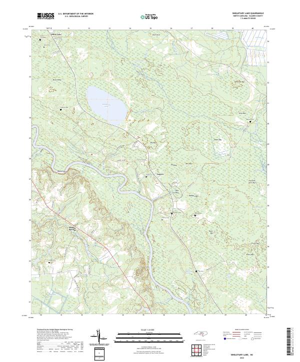
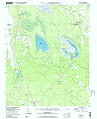
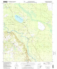
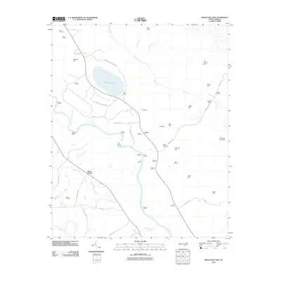
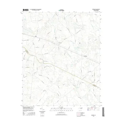
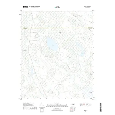
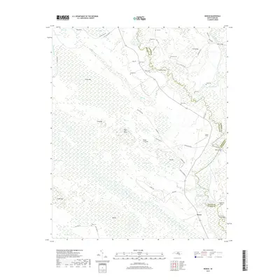
2022 Map of Singletary Lake
USGS Topo · Published 2022About this map
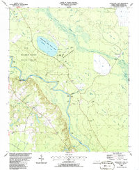
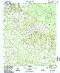
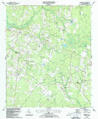
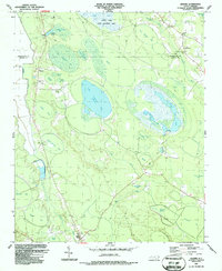
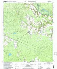
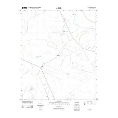
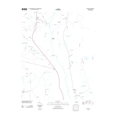
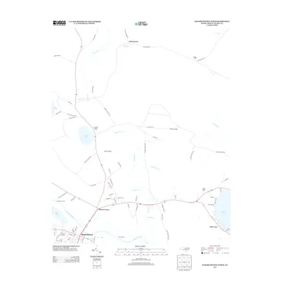
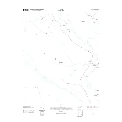
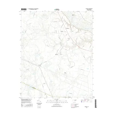
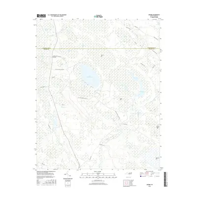
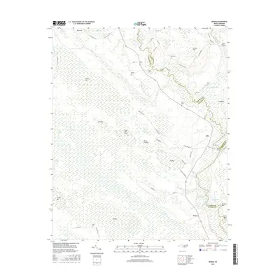
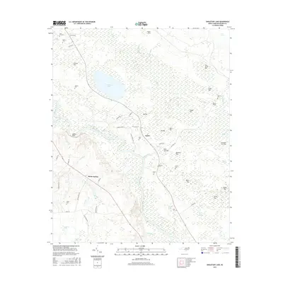
Singletary Lake and the recreational waters of White Lake anchor this portion of the Carolina Bay landscape, where elliptical depressions create a unique pattern of wetlands and pocosin across the terrain. The Cape Fear River winds through the southwestern quadrant, framed by the elevated heights of Walkers Bluff and the low-lying Colly Swamp. This 2022 survey documents a rural environment where family heritage is deeply embedded in the land, evidenced by numerous small burial grounds such as the Atkinson Cem, Melvin Cem, and Johnson Cem. The settlement at Bladen Springs and the community of Lagoon remain connected by a network of rural routes like Whitehall Rd and Lisbon Rd. The map also illustrates the region's complex hydrology, from the Lake Drain to the many named "bays" such as Old House Bay and Thousand Acres Bay, which define the local geography.
Find a feature on this map
65 named features on this map. Tap any name to fly to it.
Don’t see what you’re looking for? This feature index may not catch every label — zoom into the map to look around manually.
Map Details
Editions of this 2022 Singletary Lake Map
This is the sole edition of this map. No revisions or reprints were ever made.
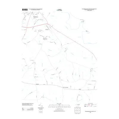
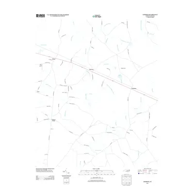
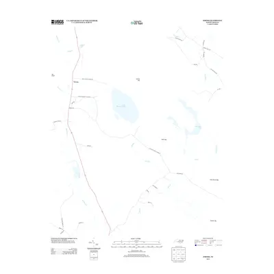
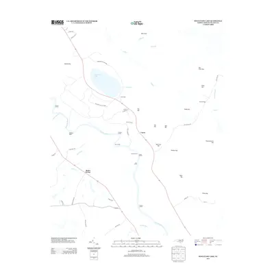
Historical Maps of Lagoon Through Time
63 maps found
1986 Council
Bladen County, NC
1986 Duart
Bladen County, NC
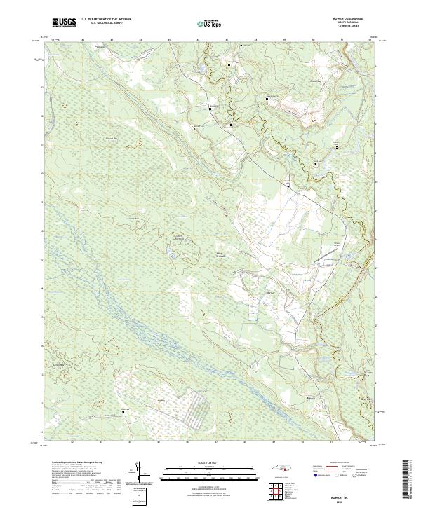
1986 Rowan
Bladen County, NC
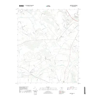
1986 Singletary Lake
Bladen County, NC
1987 Abbottsburg
Bladen County, NC
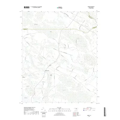
1987 Ammon
Bladen County, NC
1987 Elizabethtown North
Bladen County, NC
1987 Elizabethtown South
Bladen County, NC
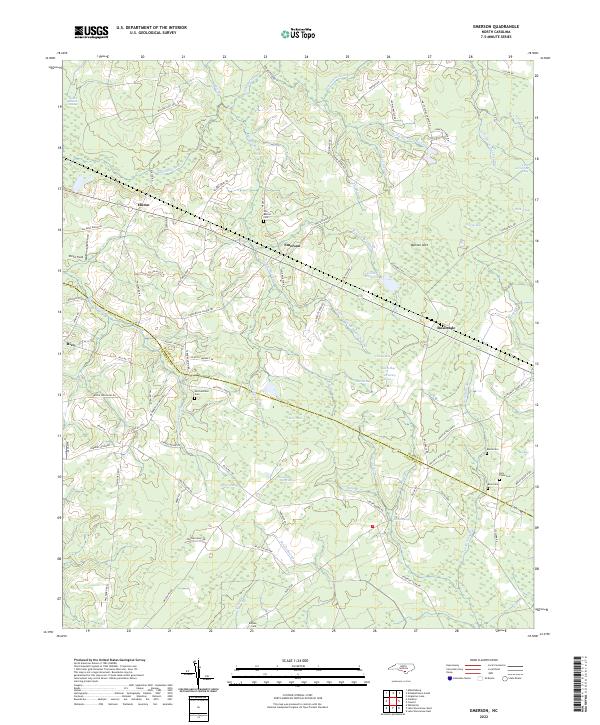
1987 Emerson
Bladen County, NC
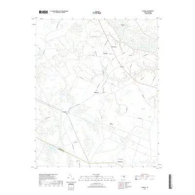
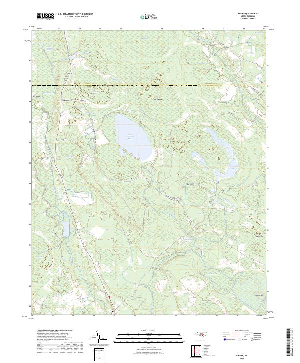
1987 Jerome
Bladen County, NC
2002 Council
Bladen County, NC
2002 Jerome
Bladen County, NC
2002 Singletary Lake
Bladen County, NC
2010 Abbottsburg
Bladen County, NC
2010 Ammon
Bladen County, NC
2010 Council
Bladen County, NC
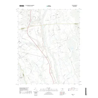
2010 Duart
Bladen County, NC
2010 Elizabethtown North
Bladen County, NC
2010 Elizabethtown South
Bladen County, NC
2010 Emerson
Bladen County, NC
2010 Jerome
Bladen County, NC
2010 Rowan
Bladen County, NC
2010 Singletary Lake
Bladen County, NC
2013 Abbottsburg
Bladen County, NC
2013 Ammon
Bladen County, NC
2013 Council
Bladen County, NC
2013 Duart
Bladen County, NC
2013 Elizabethtown North
Bladen County, NC
2013 Elizabethtown South
Bladen County, NC
2013 Emerson
Bladen County, NC
2013 Jerome
Bladen County, NC
2013 Rowan
Bladen County, NC
2013 Singletary Lake
Bladen County, NC
2016 Abbottsburg
Bladen County, NC
2016 Ammon
Bladen County, NC
2016 Council
Bladen County, NC
2016 Duart
Bladen County, NC
2016 Elizabethtown North
Bladen County, NC
2016 Elizabethtown South
Bladen County, NC
2016 Emerson
Bladen County, NC
2016 Jerome
Bladen County, NC
2016 Rowan
Bladen County, NC
2016 Singletary Lake
Bladen County, NC
2019 Abbottsburg
Bladen County, NC
2019 Ammon
Bladen County, NC
2019 Council
Bladen County, NC
2019 Duart
Bladen County, NC
2019 Elizabethtown North
Bladen County, NC
2019 Elizabethtown South
Bladen County, NC
2019 Emerson
Bladen County, NC
2019 Jerome
Bladen County, NC
2019 Rowan
Bladen County, NC
2019 Singletary Lake
Bladen County, NC
2022 Abbottsburg
Bladen County, NC
2022 Ammon
Bladen County, NC
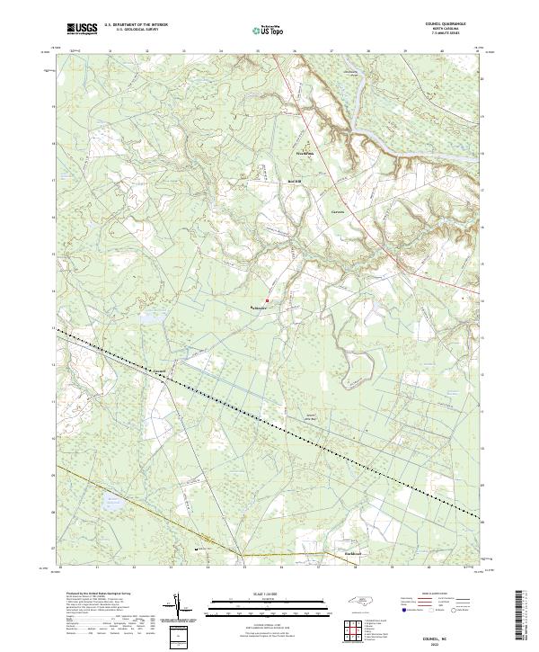
2022 Council
Bladen County, NC
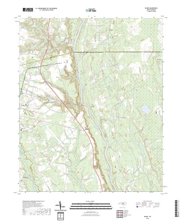
2022 Duart
Bladen County, NC
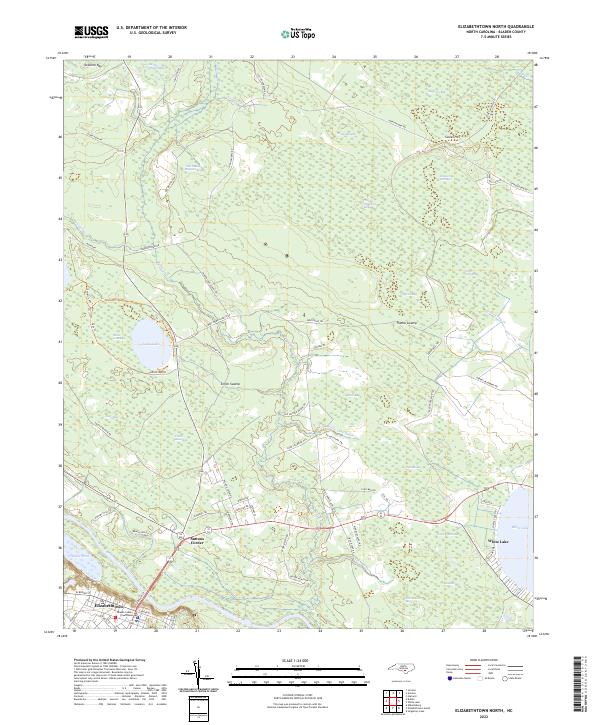
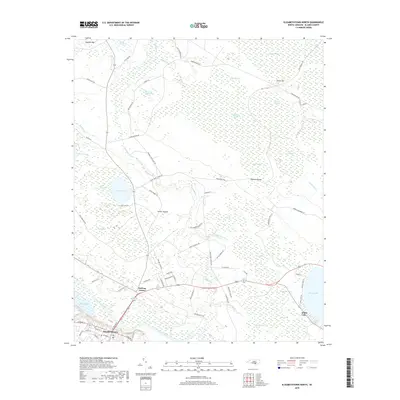
2022 Elizabethtown North
Bladen County, NC
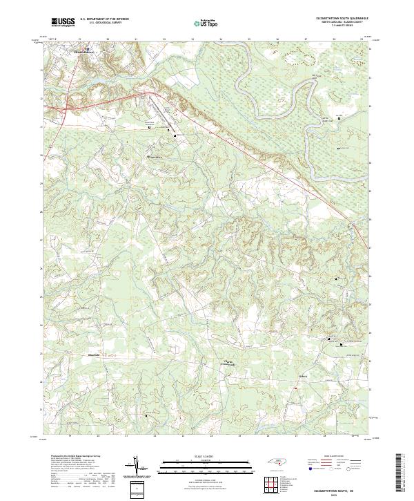
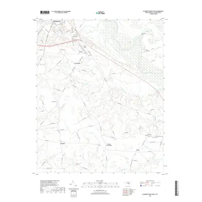
2022 Elizabethtown South
Bladen County, NC
2022 Emerson
Bladen County, NC
2022 Jerome
Bladen County, NC
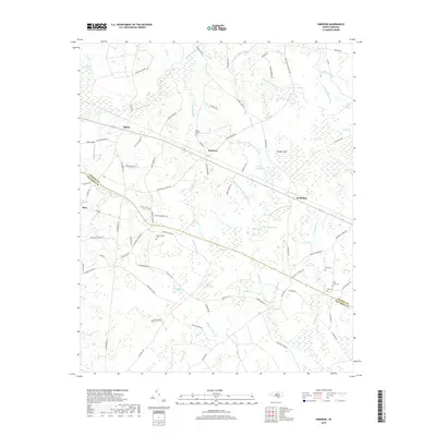
2022 Rowan
Bladen County, NC
2022 Singletary Lake
Bladen County, NC