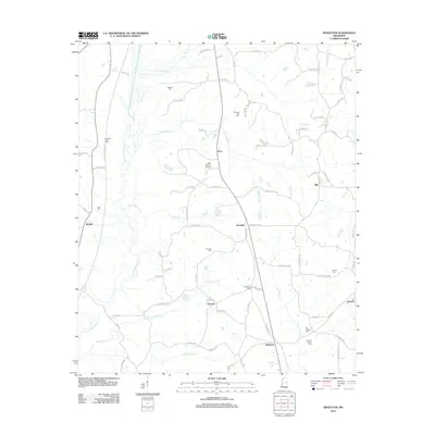
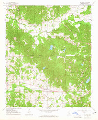
2012 Map of Singleton
USGS Topo · Published 2012About this map
Yockanookany River meanders through the western reaches of this Attala County landscape, defining the local drainage alongside several significant creeks. The area is characterized by a series of small, rural communities connected by a network of county roads, including the historic Natchez Trace Pkwy which skims the western edge. Central to the map's geography are settlements such as Knox, Dossville, and Dowell, which appear as crossroads of activity.
Find a feature on this map
84 named features on this map. Tap any name to fly to it.
Don’t see what you’re looking for? This feature index may not catch every label — zoom into the map to look around manually.
Map Details
Editions of this 2012 Singleton Map
This is the sole edition of this map. No revisions or reprints were ever made.
Other maps of this area

1953 · Meridian
USGS Topo · 1:250,000

1953 · West Point
USGS Topo · 1:250,000

1957 · Meridian
USGS Topo · 1:250,000

1958 · West Point
USGS Topo · 1:250,000
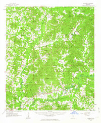
1962 · Edinburg
USGS Topo · 1:62,500
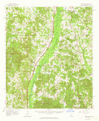
1962 · Thomastown
USGS Topo · 1:62,500

1963 · West Point
USGS Topo · 1:250,000
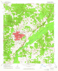
1964 · Kosciusko
USGS Topo · 1:24,000
1964 · McAdams
USGS Topo · 1:24,000

1965 · Meridian
USGS Topo · 1:250,000