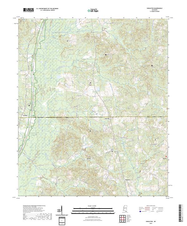
2024 Map of Singleton
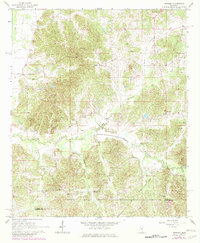
USGS Topo · Published 2024This historical map portrays the area of Singleton in 2024, primarily covering Attala County as well as portions of Leake County. Featuring a scale of 1:24000, this map provides a highly detailed snapshot of the terrain, roads, buildings, counties, and historical landmarks in the Singleton region at the time. Published in 2024, it is the sole known edition of this map.
Map Details
Editions of this 2024 Singleton Map
This is the sole edition of this map. No revisions or reprints were ever made.
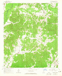
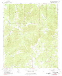
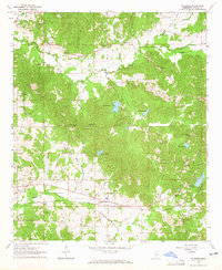
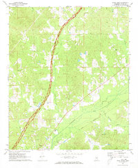
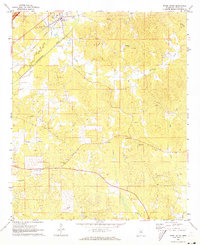
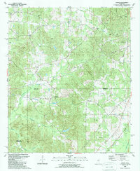
Historical Maps of Nile Through Time
18 maps found
1964 Hesterville
Attala County, MS
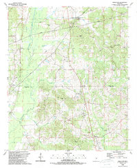
1964 Kosciusko NE
Attala County, MS
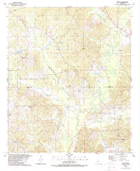
1964 McAdams
Attala County, MS
1964 Newport
Attala County, MS
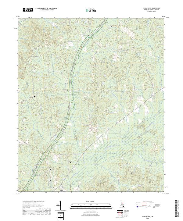
1972 Ethel North
Attala County, MS
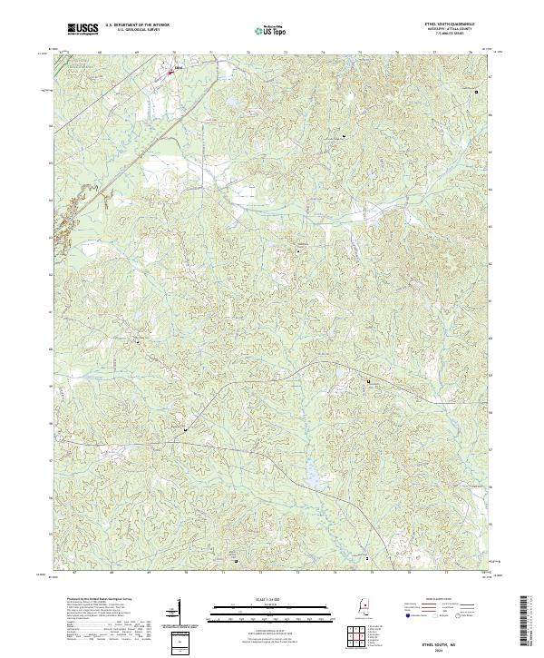
1972 Ethel South
Attala County, MS
1989 Joseph
Attala County, MS
1989 Singleton
Attala County, MS
1989 Zama
Attala County, MS
2024 Ethel North
Attala County, MS
2024 Ethel South
Attala County, MS
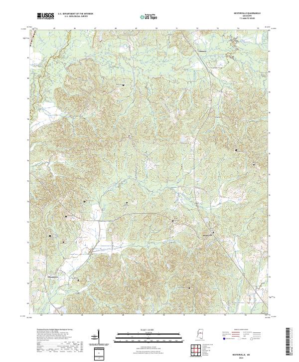
2024 Hesterville
Attala County, MS
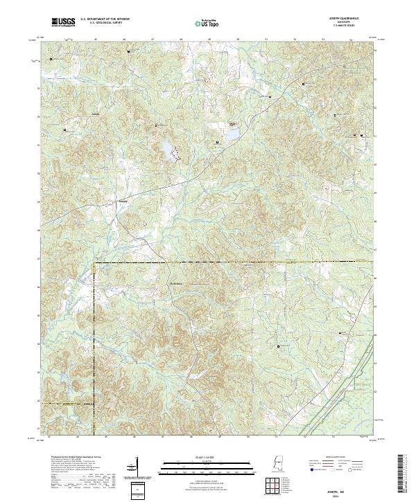
2024 Joseph
Attala County, MS
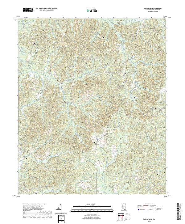
2024 Kosciusko NE
Attala County, MS
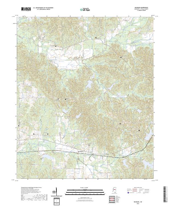
2024 McAdams
Attala County, MS
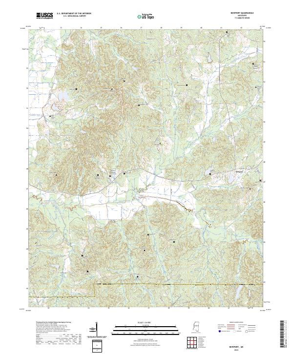
2024 Newport
Attala County, MS
2024 Singleton
Attala County, MS
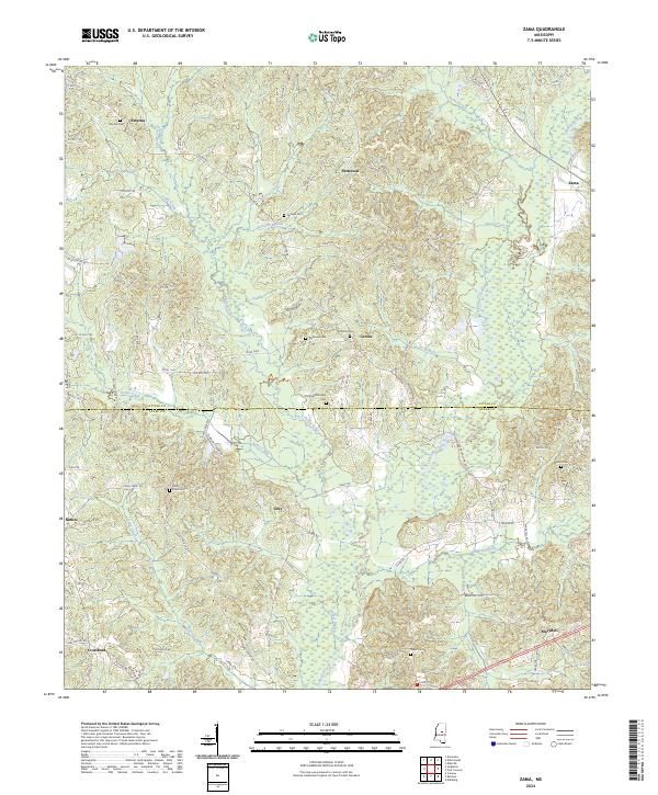
2024 Zama
Attala County, MS