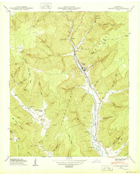
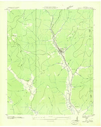
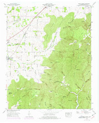
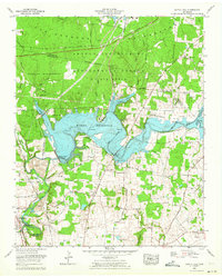
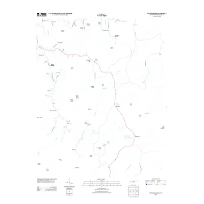
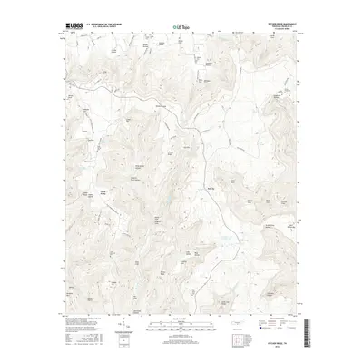
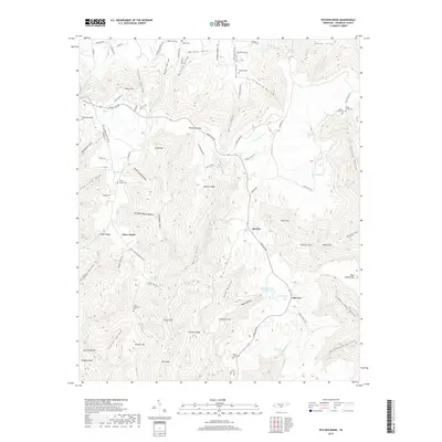
1950 Map of Sinking Cove
USGS Topo · Published 1950About this map
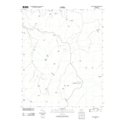
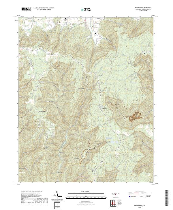
Sherwood and Tantallon serve as the primary valley settlements in this 1950 survey, positioned along the Nashville Chattanooga and St Louis RR as it threads through the Crow Creek Valley. The landscape is defined by the sharp transition from the steep hollows of the Cumberland Plateau to the karst features of the lower elevations, including Peter Cave and the prominent Buggytop Cave.
Find a feature on this map
84 named features on this map. Tap any name to fly to it.
Don’t see what you’re looking for? This feature index may not catch every label — zoom into the map to look around manually.
Map Details
Editions of this 1950 Sinking Cove Map
This is the sole edition of this map. No revisions or reprints were ever made.
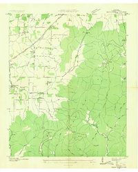
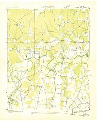
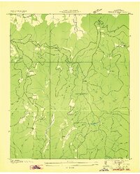
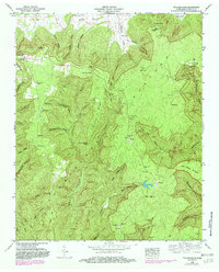
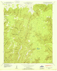
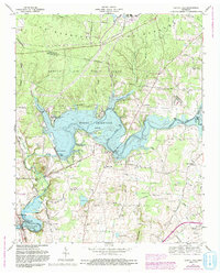
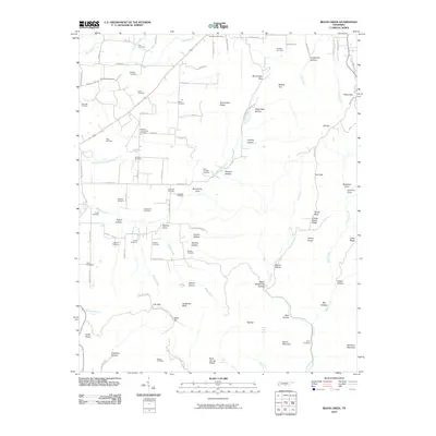
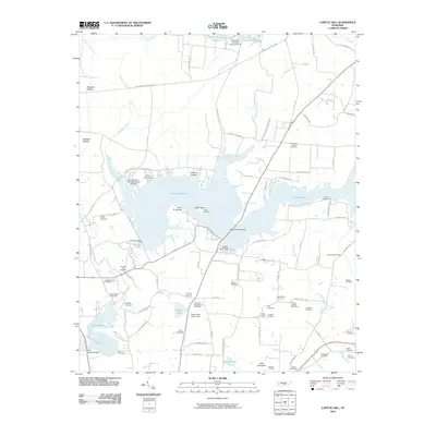
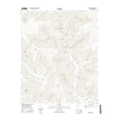
Historical Maps of Sherwood Through Time
35 maps found
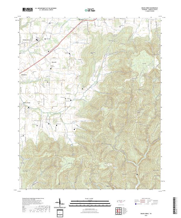
1936 Beans Creek
Franklin County, TN

1936 Camp Peay
Franklin County, TN
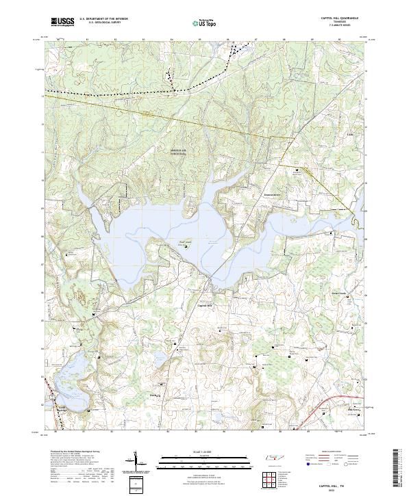
1936 Capitol Hill
Franklin County, TN
1936 Pitcher Ridge
Franklin County, TN
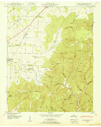
1936 Sinking Cove
Franklin County, TN
1941 Camp Forrest
Franklin County, TN
1941 Capitol Hill
Franklin County, TN
1947 Sinking Cove
Franklin County, TN
1948 Beans Creek
Franklin County, TN
1948 Pitcher Ridge
Franklin County, TN
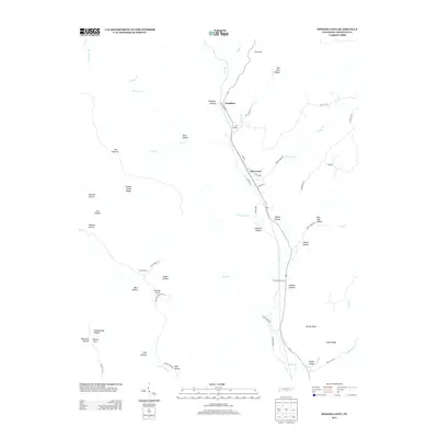
1950 Sinking Cove
Franklin County, TN
1951 Beans Creek
Franklin County, TN
1951 Pitcher Ridge
Franklin County, TN
1962 Capitol Hill
Franklin County, TN
1972 Capitol Hill
Franklin County, TN
2010 Beans Creek
Franklin County, TN
2010 Capitol Hill
Franklin County, TN
2010 Pitcher Ridge
Franklin County, TN
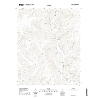
2010 Sinking Cove
Franklin County, TN
2013 Beans Creek
Franklin County, TN
2013 Capitol Hill
Franklin County, TN
2013 Pitcher Ridge
Franklin County, TN
2013 Sinking Cove
Franklin County, TN
2016 Beans Creek
Franklin County, TN
2016 Capitol Hill
Franklin County, TN
2016 Pitcher Ridge
Franklin County, TN
2016 Sinking Cove
Franklin County, TN
2019 Beans Creek
Franklin County, TN
2019 Capitol Hill
Franklin County, TN
2019 Pitcher Ridge
Franklin County, TN
2019 Sinking Cove
Franklin County, TN
2022 Beans Creek
Franklin County, TN
2022 Capitol Hill
Franklin County, TN
2022 Pitcher Ridge
Franklin County, TN

2022 Sinking Cove
Franklin County, TN