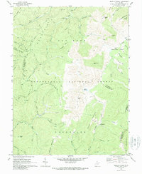
1970 Map of Sinks Of Gandy
USGS Topo · Published 1989About this map
Sinks of Gandy marks a significant geologic focal point where Gandy Creek disappears underground, defining the karst topography of this high-altitude region. Located within the Monongahela National Forest at the convergence of Randolph and Pocahontas counties, the landscape is a complex network of high ridges like Rich Mtn and Beech Mountain. The small settlement of Osceola sits near the eastern edge, while the high-elevation wetland of Blister Swamp occupies a basin between peaks.
Find a feature on this map
64 named features on this map. Tap any name to fly to it.
Don’t see what you’re looking for? This feature index may not catch every label — zoom into the map to look around manually.
Map Details
Editions of this 1970 Sinks Of Gandy Map
2 editions found
Other maps of this area

1889 · Beverly
USGS Topo · 1:125,000

1892 · Beverly
USGS Topo · 1:125,000

1909 · Elkins
USGS Topo · 1:62,500

1922 · Horton
USGS Topo · 1:48,000

1922 · Spruce Knob
USGS Topo · 1:48,000

1922 · Durbin
USGS Topo · 1:48,000

1924 · Durbin
USGS Topo · 1:62,500

1924 · Horton
USGS Topo · 1:62,500

1924 · Spruce Knob
USGS Topo · 1:62,500

1949 · Charlottesville
USGS Topo · 1:250,000