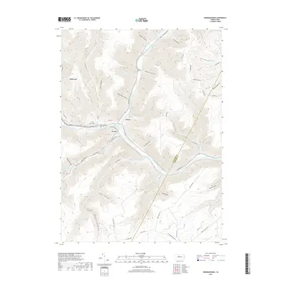
2019 Map of Sinnemahoning
USGS Topo · Published 2019About this map
Sinnemahoning Creek and its major tributary, the First Fork Sinnemahoning Creek, dictate the movement and settlement patterns of this Pennsylvania landscape. The convergence of these waters near Wyside and Jericho serves as a central hub for transportation, where the Sinnemahoning Creek valley carries both the rail line along Railroad St and the primary road network. The terrain is deeply incised by numerous hollows and drafts, such as Riddles Hollow and Smoke Draft, which historically constrained development to the narrow valley floors.
Find a feature on this map
67 named features on this map. Tap any name to fly to it.
Don’t see what you’re looking for? This feature index may not catch every label — zoom into the map to look around manually.
Map Details
Editions of this 2019 Sinnemahoning Map
This is the sole edition of this map. No revisions or reprints were ever made.
Other maps of this area

1928 · Snow Shoe
USGS Topo · 1:48,000

1929 · Karthaus
USGS Topo · 1:62,500

1931 · Show Shoe
USGS Topo · 1:62,500

1932 · Karthaus
USGS Topo · 1:62,500

1945 · Driftwood
USGS Topo · 1:48,000

1945 · First Fork
USGS Topo · 1:24,000

1945 · Sinnemahoning
USGS Topo · 1:24,000

1945 · Driftwood
USGS Topo · 1:24,000

1945 · Cameron
USGS Topo · 1:24,000

1946 · Renovo West
USGS Topo · 1:62,500
Featured Places
- East Keating Township, PA
- West Keating Township, PA
- Wyside, Grove Township
- Jericho, Grove Township
- Gibson Township, PA