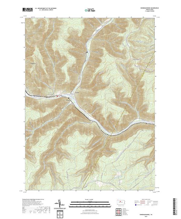
2023 Map of Sinnemahoning
USGS Topo · Published 2023About this map
Driftwood and the nearby settlements of Jericho and Wyside anchor this landscape where the First Fork Sinnemahoning Creek joins the main branch of Sinnemahoning Creek. The terrain is characterized by deeply etched drainage patterns like Poormans Draft and Board Rock Hollow, which historically dictated the paths of transport and settlement. Local history and genealogy are preserved at the Miller Run Cem and Wyside Cem, located near the winding watercourses.
Find a feature on this map
69 named features on this map. Tap any name to fly to it.
Don’t see what you’re looking for? This feature index may not catch every label — zoom into the map to look around manually.
Map Details
Editions of this 2023 Sinnemahoning Map
This is the sole edition of this map. No revisions or reprints were ever made.
Other maps of this area

1928 · Snow Shoe
USGS Topo · 1:48,000

1929 · Karthaus
USGS Topo · 1:62,500

1931 · Show Shoe
USGS Topo · 1:62,500

1932 · Karthaus
USGS Topo · 1:62,500

1945 · Driftwood
USGS Topo · 1:48,000

1945 · First Fork
USGS Topo · 1:24,000

1945 · Sinnemahoning
USGS Topo · 1:24,000

1945 · Driftwood
USGS Topo · 1:24,000

1945 · Cameron
USGS Topo · 1:24,000

1946 · Renovo West
USGS Topo · 1:62,500
Featured Places
- Gibson Township, PA
- East Keating Township, PA
- West Keating Township, PA
- Grove Township, PA
- Wyside, Grove Township