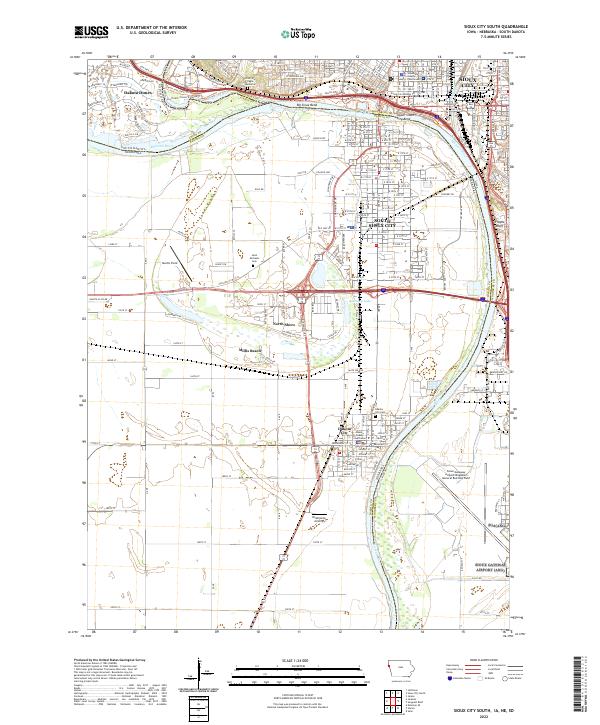
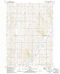
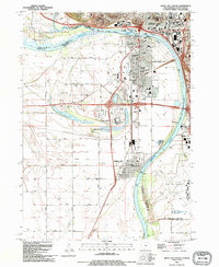
2022 Map of Sioux City South
USGS Topo · Published 2022About this map
The Missouri River and Big Sioux River converge at the tristate junction of Iowa, Nebraska, and South Dakota, anchoring a landscape where civic centers and riverfront recreation meet. Modern residential and leisure developments like Dakota Dunes and Millis Beach sit alongside deep-rooted institutional anchors, including the Woodbury County Courthouse in Sioux City and the Dakota County Courthouse in Dakota City. The area's commemorative history is evident at the Chief War Eagle Memorial overlooking the Sioux Bend, while Floyds Bluff rises prominently on the Iowa side of the valley.
Find a feature on this map
30 named features on this map. Tap any name to fly to it.
Don’t see what you’re looking for? This feature index may not catch every label — zoom into the map to look around manually.
Map Details
Editions of this 2022 Sioux City South Map
This is the sole edition of this map. No revisions or reprints were ever made.
Historical Maps of North Shore Through Time
18 maps found
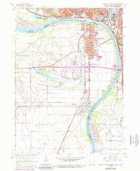
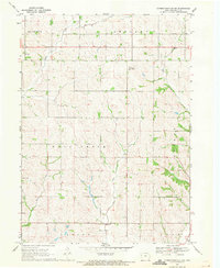
1963 Sioux City South
Woodbury County, IA
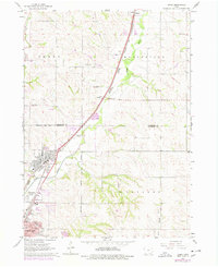
1964 James
Woodbury County, IA
1964 Luton
Woodbury County, IA
1969 Correctionville NW
Woodbury County, IA

1969 Correctionville SE
Woodbury County, IA
1969 Holstein SW
Woodbury County, IA
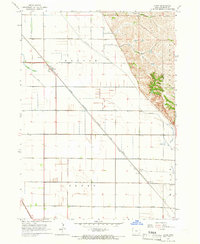
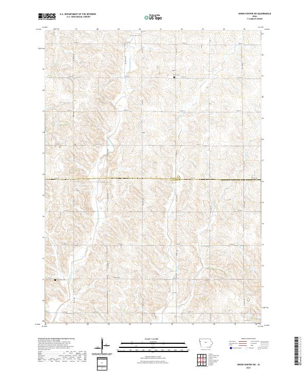
1985 Union Center SE
Woodbury County, IA
1985 Union Center SW
Woodbury County, IA
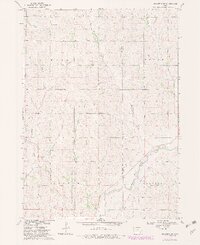
1993 Sioux City South
Woodbury County, IA
1994 James
Woodbury County, IA
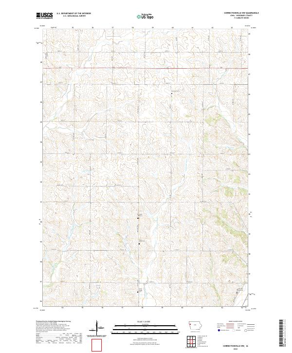
2022 Correctionville NW
Woodbury County, IA
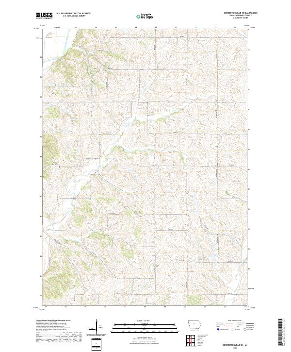
2022 Correctionville SE
Woodbury County, IA
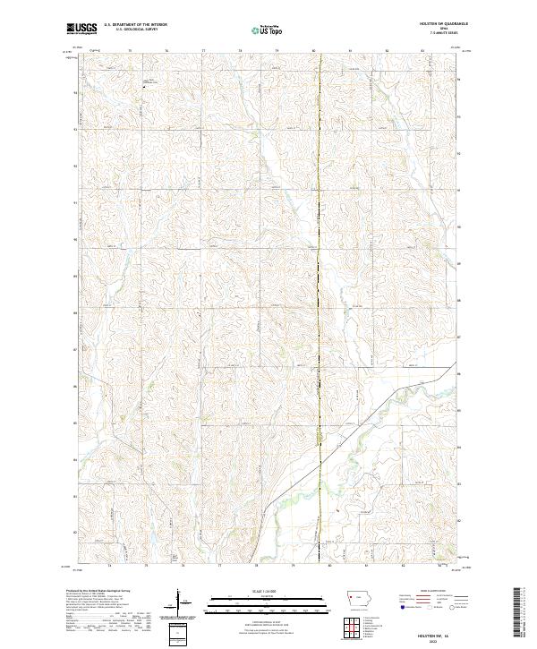
2022 Holstein SW
Woodbury County, IA
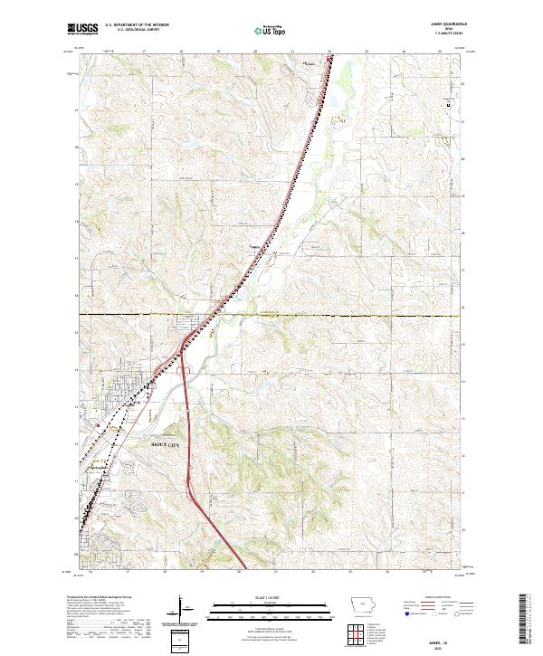
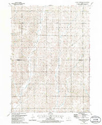
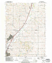
2022 James
Woodbury County, IA
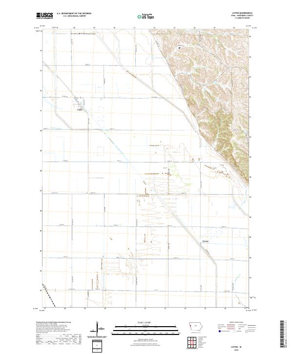
2022 Luton
Woodbury County, IA
2022 Sioux City South
Woodbury County, IA
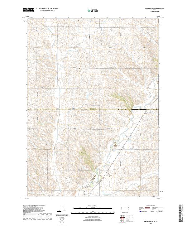
2022 Union Center SE
Woodbury County, IA
2022 Union Center SW
Woodbury County, IA
Featured Locations
- Big Sioux Township, SD
- Sioux City, IA
- South Sioux City, NE
- Dakota City, NE
- Dakota Dunes, Big Sioux Township