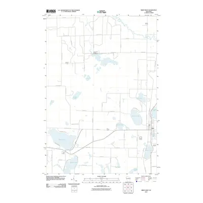
2010 Map of Siren West
USGS Topo · Published 2010About this map
The village of Siren serves as the focal point for this survey of northwest Wisconsin, where a landscape of glacial lakes and wetlands dictates the pattern of settlement. To the west, Mud Hen Lake and its associated Mud Hen Lake Cemetery sit alongside the winding Wood River, while the northern reaches are dominated by the Clam River and the expansive Amsterdam Slough. This waterway is regulated by the G12.90 Dam, highlighting the managed nature of the region's diverse hydrology.
Find a feature on this map
64 named features on this map. Tap any name to fly to it.
Don’t see what you’re looking for? This feature index may not catch every label — zoom into the map to look around manually.
Map Details
Editions of this 2010 Siren West Map
This is the sole edition of this map. No revisions or reprints were ever made.
Other maps of this area

1950 · Webster
USGS Topo · 1:48,000

1950 · Grantsburg
USGS Topo · 1:48,000

1951 · Milltown
USGS Topo · 1:48,000

1951 · Frederic
USGS Topo · 1:48,000

1953 · Stillwater
USGS Topo · 1:250,000

1955 · Webster
USGS Topo · 1:62,500

1955 · Frederic
USGS Topo · 1:62,500

1955 · Milltown
USGS Topo · 1:62,500

1955 · Stillwater
USGS Topo · 1:250,000

1958 · Stillwater
USGS Topo · 1:250,000