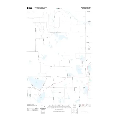
2013 Map of Siren West
USGS Topo · Published 2013About this map
Burnett County Airport anchors the eastern edge of this northern Wisconsin landscape, where the glacial legacy is evident in a dense concentration of lakes and waterways. The northern reach is defined by the winding course of the Clam River and the steady flow of Black Brook, while the southern half is dominated by large basins like Mud Hen Lake and Dunham Lake. Settlement patterns follow a grid of rural roads named for local families and landmarks, such as Wickholm Rd and Thoma Rd, connecting scattered homesteads with the recreational waters of Big Doctor Lake and Fish Lake. The map illustrates a contemporary balance between transportation infrastructure, including State Road 35 70, and a network of recreational paths like the Snowmobile Trl that navigate the wetlands and woods surrounding Ward Lake and Lind Lake.
Find a feature on this map
76 named features on this map. Tap any name to fly to it.
Don’t see what you’re looking for? This feature index may not catch every label — zoom into the map to look around manually.
Map Details
Editions of this 2013 Siren West Map
This is the sole edition of this map. No revisions or reprints were ever made.
Other maps of this area

1950 · Webster
USGS Topo · 1:48,000

1950 · Grantsburg
USGS Topo · 1:48,000

1951 · Milltown
USGS Topo · 1:48,000

1951 · Frederic
USGS Topo · 1:48,000

1953 · Stillwater
USGS Topo · 1:250,000

1955 · Webster
USGS Topo · 1:62,500

1955 · Frederic
USGS Topo · 1:62,500

1955 · Milltown
USGS Topo · 1:62,500

1955 · Stillwater
USGS Topo · 1:250,000

1958 · Stillwater
USGS Topo · 1:250,000