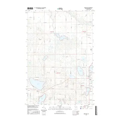
2015 Map of Siren West
USGS Topo · Published 2015About this map
The village of Siren serves as the focal point for this landscape in the western reaches of Burnett County. The terrain is defined by a dense network of glacial water bodies, from the expansive Mud Hen Lake and Amsterdam Slough Flowage to smaller pools like Blomberg Lake and Doctor Lake. This 2015 survey reflects the area's transition from traditional rural patterns to a modern recreational and transit hub, anchored by the Burnett County Airport and a grid of local roads including Old 35 and Moline Rd.
Find a feature on this map
87 named features on this map. Tap any name to fly to it.
Don’t see what you’re looking for? This feature index may not catch every label — zoom into the map to look around manually.
Map Details
Editions of this 2015 Siren West Map
This is the sole edition of this map. No revisions or reprints were ever made.
Other maps of this area
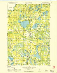
1950 · Webster
USGS Topo · 1:48,000
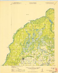
1950 · Grantsburg
USGS Topo · 1:48,000
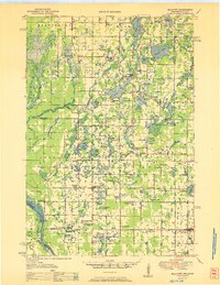
1951 · Milltown
USGS Topo · 1:48,000

1951 · Frederic
USGS Topo · 1:48,000

1953 · Stillwater
USGS Topo · 1:250,000
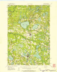
1955 · Webster
USGS Topo · 1:62,500
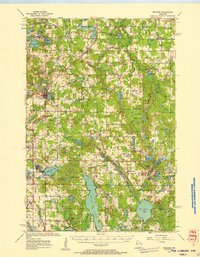
1955 · Frederic
USGS Topo · 1:62,500
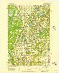
1955 · Milltown
USGS Topo · 1:62,500

1955 · Stillwater
USGS Topo · 1:250,000

1958 · Stillwater
USGS Topo · 1:250,000