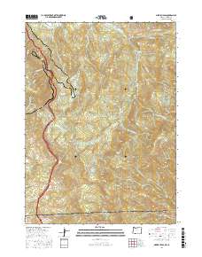
2017 Map of Siskiyou Pass
USGS Topo · Published 2017About this map
Siskiyou Pass serves as the central crossing for this survey of the northern Siskiyou Mountains, where the modern interstate corridor parallels historic routes like Old Hwy 99 and the Pacific Crest National Scenic Trail. The landscape is defined by prominent geological features such as the volcanic plug of Pilot Rock and the high elevations of Porcupine Mtn and Green Mtn. This high-altitude terrain is dotted with vital water sources, including Dollarhide Spring, Powder Springs, and McAllister Spring, which supported travel through the Toll Road Gap. Along the southern border, the map marks the transition into the Klamath National Forest at the Oregon-California state line. The intricate network of Forest Service roads, such as Baldy Creek Rd and Tyler Creek Rd, provides detail on the accessibility of the remote drainages like Bear Gulch and Miller Gulch.
Find a feature on this map
63 named features on this map. Tap any name to fly to it.
Don’t see what you’re looking for? This feature index may not catch every label — zoom into the map to look around manually.
Map Details
Editions of this 2017 Siskiyou Pass Map
This is the sole edition of this map. No revisions or reprints were ever made.
Other maps of this area

1886 · Shasta
USGS Topo · 1:250,000

1891 · Ashland
USGS Topo · 1:250,000

1893 · Ashland
USGS Topo · 1:250,000

1894 · Shasta
USGS Topo · 1:250,000

1897 · Ashland
USGS Topo · 1:250,000

1922 · Shasta Valley Sheet No 15
USGS Topo · 1:24,000

1932 · Yreka
USGS Topo · 1:96,000

1934 · Macdoel
USGS Topo · 1:96,000

1938 · Medford
USGS Topo · 1:125,000

1939 · Yreka
USGS Topo · 1:125,000