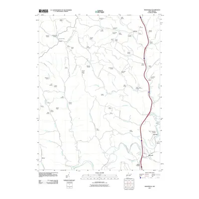
2011 Map of Sissonville
USGS Topo · Published 2011About this map
The Pocatalico River and its numerous winding tributaries shape this section of West Virginia, where small valley communities like Sissonville and Millertown developed along the narrow flatlands. The landscape is defined by a dense network of ridges and hollows, including Jeffers Ridge and Hogpen Ridge, which dictated the early settlement patterns and the placement of mountain roads like Fisher Ridge Rd. This 2011 survey documents a mix of rural life and modernization, showing the path of Old US Hwy 21 alongside newer developments.
Find a feature on this map
103 named features on this map. Tap any name to fly to it.
Don’t see what you’re looking for? This feature index may not catch every label — zoom into the map to look around manually.
Map Details
Editions of this 2011 Sissonville Map
This is the sole edition of this map. No revisions or reprints were ever made.
Other maps of this area

1899 · Charleston
USGS Topo · 1:125,000

1906 · Kenna
USGS Topo · 1:62,500

1906 · Winfield
USGS Topo · 1:62,500

1907 · Kenna
USGS Topo · 1:62,500

1908 · Winfield
USGS Topo · 1:62,500

1909 · Charleston
USGS Topo · 1:62,500

1909 · Saint Albans
USGS Topo · 1:62,500

1931 · Saint Albans
USGS Topo · 1:62,500

1931 · Charleston
USGS Topo · 1:62,500

1933 · Saint Albans
USGS Topo · 1:62,500