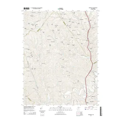
2014 Map of Sissonville
USGS Topo · Published 2014About this map
Liberty and Goldtown anchor this central West Virginia landscape where the Pocatalico River and its numerous tributaries carve through the complex ridge-and-hollow terrain. The map reveals a dense network of family-named landmarks and rural burial grounds, including the Boggess Family Cem and the Albert E. Humphreys Memorial Cem. This 2014 survey documents the convergence of Putnam and Kanawha counties, illustrating how modern roadways like WV 34 and McClane Pike follow the natural contours of the land. The concentration of cemeteries, such as Kelly Creek Church Cem and Asbury Cem, provides significant value for genealogical research, pinpointing ancestral locations across Phillips Hollow and Sayre Hollow. The settlement pattern remains largely confined to the valleys, with Sissonville and Millertown situated along the river's lower reaches.
Find a feature on this map
126 named features on this map. Tap any name to fly to it.
Don’t see what you’re looking for? This feature index may not catch every label — zoom into the map to look around manually.
Map Details
Editions of this 2014 Sissonville Map
This is the sole edition of this map. No revisions or reprints were ever made.
Other maps of this area

1899 · Charleston
USGS Topo · 1:125,000

1906 · Kenna
USGS Topo · 1:62,500

1906 · Winfield
USGS Topo · 1:62,500

1907 · Kenna
USGS Topo · 1:62,500

1908 · Winfield
USGS Topo · 1:62,500

1909 · Charleston
USGS Topo · 1:62,500

1909 · Saint Albans
USGS Topo · 1:62,500

1931 · Saint Albans
USGS Topo · 1:62,500

1931 · Charleston
USGS Topo · 1:62,500

1933 · Saint Albans
USGS Topo · 1:62,500