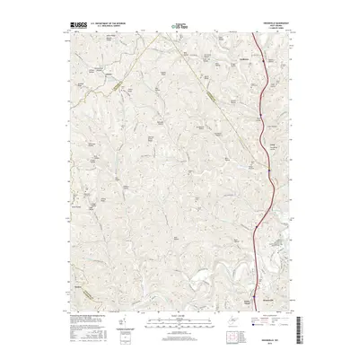
2016 Map of Sissonville
USGS Topo · Published 2016About this map
The Pocatalico River and its complex network of forks and runs define this portion of the Kanawha Valley, where the borders of Putnam, Jackson, and Kanawha counties meet. Small settlements like Liberty and Goldtown are centers of community life, while the landscape is heavily marked by family history and genealogy. Numerous small burial grounds are scattered throughout the ridges and hollows, including the Boggess Family Cem, Koontz Cem, and the Albert E Humphreys Memorial Cem near the river.
Find a feature on this map
140 named features on this map. Tap any name to fly to it.
Don’t see what you’re looking for? This feature index may not catch every label — zoom into the map to look around manually.
Map Details
Editions of this 2016 Sissonville Map
This is the sole edition of this map. No revisions or reprints were ever made.
Other maps of this area

1899 · Charleston
USGS Topo · 1:125,000

1906 · Kenna
USGS Topo · 1:62,500

1906 · Winfield
USGS Topo · 1:62,500

1907 · Kenna
USGS Topo · 1:62,500

1908 · Winfield
USGS Topo · 1:62,500

1909 · Charleston
USGS Topo · 1:62,500

1909 · Saint Albans
USGS Topo · 1:62,500

1931 · Saint Albans
USGS Topo · 1:62,500

1931 · Charleston
USGS Topo · 1:62,500

1933 · Saint Albans
USGS Topo · 1:62,500