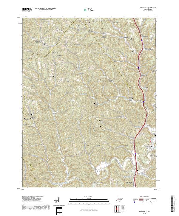
2023 Map of Sissonville
USGS Topo · Published 2023About this map
Pocatalico River and Pocatalico Creek wind through this West Virginia landscape, where the confluence of steep hollows and narrow ridges defines the settlement patterns of Kanawha, Jackson, and Putnam Counties. The community of Sissonville sits along the southern reach of the river, serving as a hub for the surrounding valleys. The geography is densely marked by family heritage, with numerous small burial grounds such as Boggess Family Cem, John Beane Cem, and the Albert E Humphreys Memorial Cem tucked into the hillsides.
Find a feature on this map
138 named features on this map. Tap any name to fly to it.
Don’t see what you’re looking for? This feature index may not catch every label — zoom into the map to look around manually.
Map Details
Editions of this 2023 Sissonville Map
This is the sole edition of this map. No revisions or reprints were ever made.
Other maps of this area

1899 · Charleston
USGS Topo · 1:125,000

1906 · Kenna
USGS Topo · 1:62,500

1906 · Winfield
USGS Topo · 1:62,500

1907 · Kenna
USGS Topo · 1:62,500

1908 · Winfield
USGS Topo · 1:62,500

1909 · Charleston
USGS Topo · 1:62,500

1909 · Saint Albans
USGS Topo · 1:62,500

1931 · Saint Albans
USGS Topo · 1:62,500

1931 · Charleston
USGS Topo · 1:62,500

1933 · Saint Albans
USGS Topo · 1:62,500