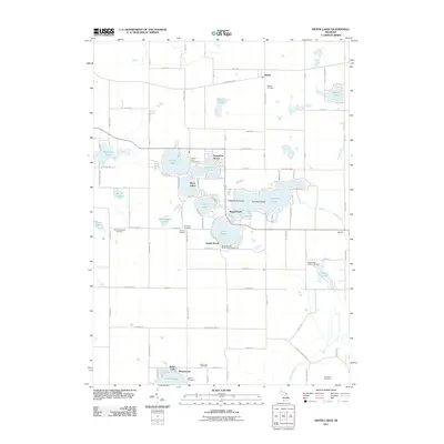
2011 Map of Sister Lakes
USGS Topo · Published 2011About this map
Magician Lake and its neighbors form a dense cluster of glacial waters that anchor this recreational and agricultural landscape in southwestern Michigan. The namesake community of Sister Lakes serves as the hub for these interconnected basins, including Dewey Lake, Cable Lake, and Round Lake. The geography is defined by a high density of named islands like Rattlesnake Island and Hemlock Island, alongside established summer colonies at Woodland Beach and Sandy Beach.
Find a feature on this map
102 named features on this map. Tap any name to fly to it.
Don’t see what you’re looking for? This feature index may not catch every label — zoom into the map to look around manually.
Map Details
Editions of this 2011 Sister Lakes Map
This is the sole edition of this map. No revisions or reprints were ever made.
Other maps of this area

1927 · Niles
USGS Topo · 1:62,500

1927 · Hartford
USGS Topo · 1:62,500

1927 · Benton Harbor
USGS Topo · 1:62,500

1930 · Benton Harbor
USGS Topo · 1:62,500

1930 · Niles
USGS Topo · 1:62,500

1931 · Hartford
USGS Topo · 1:62,500

1943 · Niles
USGS Topo · 1:62,500

1945 · Cassopolis
USGS Topo · 1:62,500

1947 · Cassopolis
USGS Topo · 1:62,500

1953 · Chicago
USGS Topo · 1:250,000