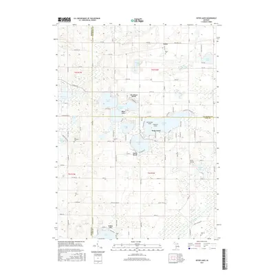
2017 Map of Sister Lakes
USGS Topo · Published 2017About this map
Magician Lake and a constellation of smaller glacial basins define this corner of Southwest Michigan, where the boundaries of Van Buren, Berrien, and Cass counties converge. The settlement of Sister Lakes serves as a central hub for lakeside communities like Woodland Beach and Sandy Beach, reflecting a long-established pattern of residential development around Cable Lake, Dewey Lake, and Crooked Lake.
Find a feature on this map
70 named features on this map. Tap any name to fly to it.
Don’t see what you’re looking for? This feature index may not catch every label — zoom into the map to look around manually.
Map Details
Editions of this 2017 Sister Lakes Map
This is the sole edition of this map. No revisions or reprints were ever made.
Other maps of this area

1927 · Niles
USGS Topo · 1:62,500

1927 · Hartford
USGS Topo · 1:62,500

1927 · Benton Harbor
USGS Topo · 1:62,500

1930 · Benton Harbor
USGS Topo · 1:62,500

1930 · Niles
USGS Topo · 1:62,500

1931 · Hartford
USGS Topo · 1:62,500

1943 · Niles
USGS Topo · 1:62,500

1945 · Cassopolis
USGS Topo · 1:62,500

1947 · Cassopolis
USGS Topo · 1:62,500

1953 · Chicago
USGS Topo · 1:250,000