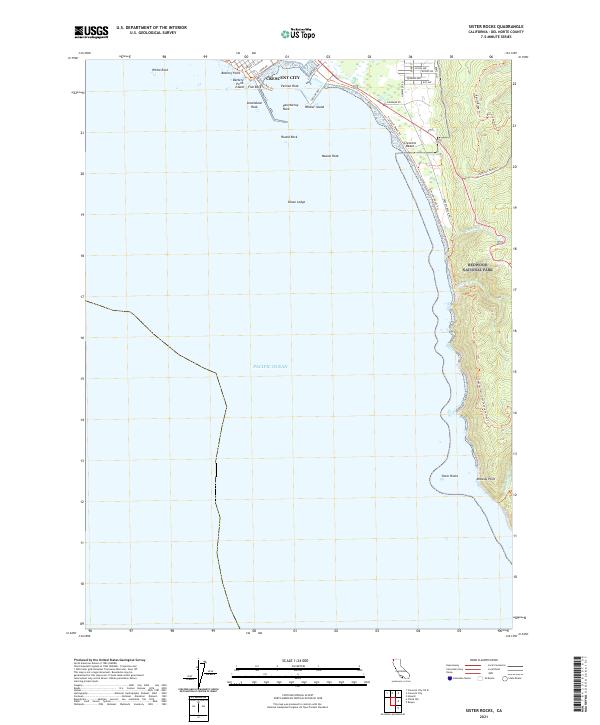
2021 Map of Sister Rocks
USGS Topo · Published 2021About this map
Crescent City anchors the northern edge of this coastal survey, where the town’s harbor and industrial infrastructure at Citizens Dock Rd meet the Pacific Ocean. The landscape transitions quickly from the urban grid of Front St and Nickel Ave to the protected woodlands of Redwood National Park. This stretch of the Del Norte coastline is defined by its complex maritime geography, including prominent landmarks like Battery Point Island and Whaler Island, alongside treacherous seafaring features such as Chase Ledge and Steamboat Rock.
Find a feature on this map
42 named features on this map. Tap any name to fly to it.
Don’t see what you’re looking for? This feature index may not catch every label — zoom into the map to look around manually.
Map Details
Editions of this 2021 Sister Rocks Map
This is the sole edition of this map. No revisions or reprints were ever made.
Other maps of this area

1929 · Crescent City
USGS Topo · 1:125,000

1945 · Point St. George
USGS Topo · 1:62,500

1945 · Requa
USGS Topo · 1:62,500

1949 · Eureka
USGS Topo · 1:250,000
1952 · Klamath
USGS Topo · 1:62,500

1952 · Crescent City
USGS Topo · 1:62,500
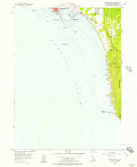
1956 · Sister Rocks
USGS Topo · 1:24,000

1956 · Crescent City
USGS Topo · 1:24,000

1958 · Eureka
USGS Topo · 1:250,000
1958 · Crescent City
USGS Topo · 1:250,000