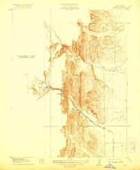
1917 Map of Sites
USGS Topo · Published 1921About this map
Sites serves as the focal point of this Northern California landscape, situated at the western edge of the Sacramento Valley. The map illustrates a transitional geography where the flat valley floor meets the rising foothills, marked by the narrow passage of Golden Gate and the opening of Antelope Valley. This era is defined by the extraction of local resources, evidenced by the presence of the Colusa Quarry and Mc Gillery Quarry, which were vital to the regional economy and infrastructure.
Find a feature on this map
14 named features on this map. Tap any name to fly to it.
Don’t see what you’re looking for? This feature index may not catch every label — zoom into the map to look around manually.
Map Details
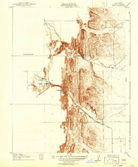
Editions of this 1917 Sites Map
3 editions found
Other maps of this area

1904 · Logan Creek
USGS Topo · 1:24,000

1904 · Sites
USGS Topo · 1:24,000

1905 · Fairview
USGS Topo · 1:24,000

1906 · Maxwell
USGS Topo · 1:62,500

1907 · Colusa
USGS Topo · 1:62,500

1917 · Logandale
USGS Topo · 1:31,680

1917 · Sites
USGS Topo · 1:31,680

1917 · Delevan
USGS Topo · 1:31,680

1918 · Williams
USGS Topo · 1:31,680

1918 · Logan Creek
USGS Topo · 1:31,680