
1917 Map of Sites
USGS Topo · Published 1917About this map
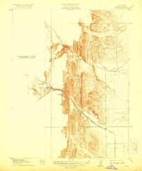
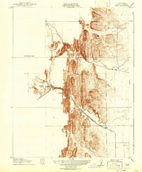
Antelope Valley serves as the focal point for this early 20th-century survey of the California foothills, where industrial extraction and early transport routes defined the local economy. The settlement of Sites sits at the base of the ridges, acting as a terminus for the Colusa and Lake railroad and road system. This infrastructure was essential for the operation of the Colusa Quarry and the nearby Mc Gillery Quarry, which carved into the sandstone of the Coast Range foothills.
Find a feature on this map
11 named features on this map. Tap any name to fly to it.
Don’t see what you’re looking for? This feature index may not catch every label — zoom into the map to look around manually.
Map Details
Editions of this 1917 Sites Map
3 editions found
Other maps of this area

1904 · Logan Creek
USGS Topo · 1:24,000

1904 · Sites
USGS Topo · 1:24,000

1905 · Fairview
USGS Topo · 1:24,000

1906 · Maxwell
USGS Topo · 1:62,500

1907 · Colusa
USGS Topo · 1:62,500

1917 · Logandale
USGS Topo · 1:31,680

1917 · Delevan
USGS Topo · 1:31,680

1918 · Williams
USGS Topo · 1:31,680

1918 · Logan Creek
USGS Topo · 1:31,680

1920 · Venado
USGS Topo · 1:62,500