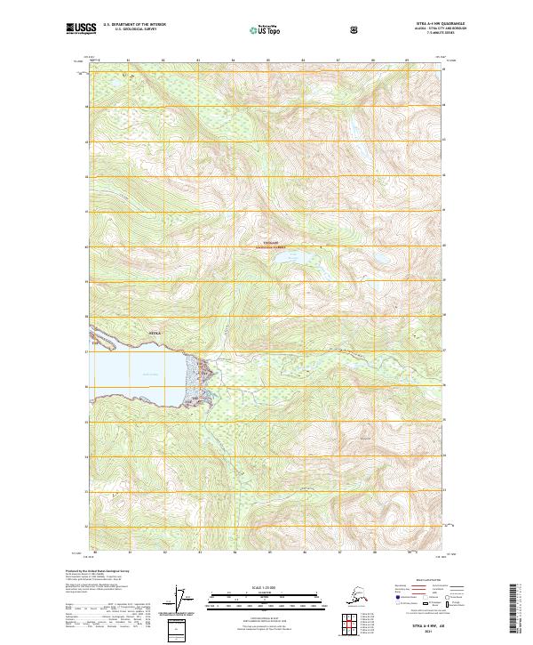
2021 Map of Sitka A-4 NW
USGS Topo · Published 2021About this map
Tongass National Forest dominates this coastal Alaskan landscape, where steep glacial topography meets the tidal reaches of Katlian Bay. The map highlights the drainage systems of the Coxe River and the Katlian River, which converge toward the bay's eastern shore near the head of the inlet. This 2021 survey illustrates the primitive infrastructure of the region, specifically the Katlian River Road Trl winding through the valley floor toward the heights of Mount Katlian. High-elevation features like Cold Storage Lake and the drainage of Lisa Creek provide critical points of reference for navigating the dense, wooded terrain within the Sitka city and borough boundaries. The layout of the trails and waterways underscores the area's continued reliance on natural corridors for movement between the coastline and the interior peaks.
Find a feature on this map
13 named features on this map. Tap any name to fly to it.
Don’t see what you’re looking for? This feature index may not catch every label — zoom into the map to look around manually.
Map Details
Editions of this 2021 Sitka A-4 NW Map
This is the sole edition of this map. No revisions or reprints were ever made.
Other maps of this area

1948 · Sitka A-5
USGS Topo · 1:63,360

1948 · Sitka B-5
USGS Topo · 1:63,360

1951 · Sitka B-4
USGS Topo · 1:63,360

1951 · Sitka B-5
USGS Topo · 1:63,360

1951 · Sitka
USGS Topo · 1:250,000

1951 · Sitka A-4
USGS Topo · 1:63,360

1951 · Sitka A-5
USGS Topo · 1:63,360

1952 · Sitka
USGS Topo · 1:250,000

1954 · Sitka A-4
USGS Topo · 1:63,360

1964 · Sitka
USGS Topo · 1:250,000