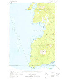
1951 Map of Sitka A-6
USGS Topo · Published 1978About this map
Kruzof Island dominates this 1951 topographic study, centered on the symmetrical cone of Mt Edgecumbe. The landscape reveals a wild coastal environment characterized by volcanic features like Crater Ridge and the marshes of Iris Meadows. Human presence is minimal and transient, noted only by isolated structures such as a Shelter Cabin near the eastern shore and scattered cabins along the coast.
Find a feature on this map
31 named features on this map. Tap any name to fly to it.
Don’t see what you’re looking for? This feature index may not catch every label — zoom into the map to look around manually.
Map Details
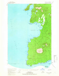
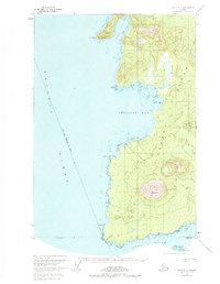
Editions of this 1951 Sitka A-6 Map
4 editions found
Other maps of this area

1948 · Sitka A-5
USGS Topo · 1:63,360

1948 · Sitka B-5
USGS Topo · 1:63,360

1951 · Sitka A-6
USGS Topo · 1:63,360

1951 · Sitka B-6
USGS Topo · 1:63,360

1951 · Sitka B-5
USGS Topo · 1:63,360

1951 · Port Alexander D-5
USGS Topo · 1:63,360

1951 · Sitka
USGS Topo · 1:250,000

1951 · Port Alexander
USGS Topo · 1:250,000

1951 · Sitka A-5
USGS Topo · 1:63,360

1952 · Port Alexander
USGS Topo · 1:250,000