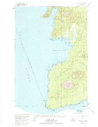
1951 Map of Sitka A-6
USGS Topo · Published 1984About this map
The volcanic topography of Kruzof Island dominates this coastal survey, centered on the prominent peak of Mt Edgecumbe and its neighboring Crater Ridge. The landscape reflects a remote wilderness environment, where scattered Cabins and a network of trails represent the only visible human footprint against the complex shoreline of the Pacific Ocean. Along the western coast, dramatic geographic points such as Pt Amelia and Cape Edgecumbe define the interface between the open sea and the island's interior peaks.
Find a feature on this map
24 named features on this map. Tap any name to fly to it.
Don’t see what you’re looking for? This feature index may not catch every label — zoom into the map to look around manually.
Map Details
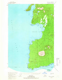
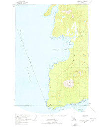
Editions of this 1951 Sitka A-6 Map
4 editions found
Other maps of this area

1948 · Sitka A-5
USGS Topo · 1:63,360

1948 · Sitka B-5
USGS Topo · 1:63,360

1951 · Sitka A-6
USGS Topo · 1:63,360

1951 · Sitka B-6
USGS Topo · 1:63,360

1951 · Sitka B-5
USGS Topo · 1:63,360

1951 · Port Alexander D-5
USGS Topo · 1:63,360

1951 · Sitka
USGS Topo · 1:250,000

1951 · Port Alexander
USGS Topo · 1:250,000

1951 · Sitka A-5
USGS Topo · 1:63,360

1952 · Port Alexander
USGS Topo · 1:250,000