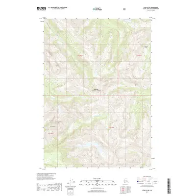
2017 Map of Sitka B-4 SW
USGS Topo · Published 2017About this map
Tongass National Forest encompasses the high, ridged interior of Baranof Island in this coastal Alaskan survey. The landscape is defined by steep elevation gains and a network of drainage systems feeding toward the Pacific, notably Rodman Cr which flows north into the protected waters of Rodman Bay. The interior is punctuated by prominent peaks including Annahootz Mtn and Mt Rosenberg, illustrating the difficult topography of the Alexander Archipelago. Without established roads or settlements, the map details the natural hydrology and forest boundaries, such as Fish-Bay Cr, providing a clear look at the wilderness character and watershed patterns of the Sitka region in the early 21st century.
Find a feature on this map
11 named features on this map. Tap any name to fly to it.
Don’t see what you’re looking for? This feature index may not catch every label — zoom into the map to look around manually.
Map Details
Editions of this 2017 Sitka B-4 SW Map
This is the sole edition of this map. No revisions or reprints were ever made.
Other maps of this area

1948 · Sitka A-5
USGS Topo · 1:63,360

1948 · Sitka B-5
USGS Topo · 1:63,360

1951 · Sitka B-4
USGS Topo · 1:63,360

1951 · Sitka B-5
USGS Topo · 1:63,360

1951 · Sitka
USGS Topo · 1:250,000

1951 · Sitka A-4
USGS Topo · 1:63,360

1951 · Sitka A-5
USGS Topo · 1:63,360

1952 · Sitka
USGS Topo · 1:250,000

1954 · Sitka A-4
USGS Topo · 1:63,360

1964 · Sitka
USGS Topo · 1:250,000