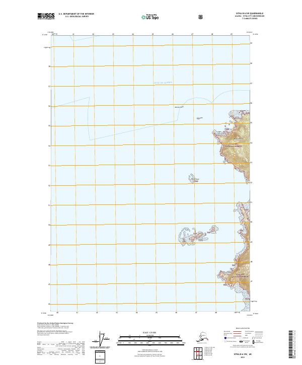
2021 Map of Sitka B-6 SW
USGS Topo · Published 2021About this map
The coast of Kruzof Island, as it meets the Gulf of Alaska, reveals a jagged shoreline defined by rocky outposts and the dense wilderness of the Tongass National Forest. The prominent headland at Cape Georgiana and the heights of Mt Georgiana mark the northwestern edge of the island, serving as critical navigation points for mariners entering these waters. This 2021 survey details a seascape of hazards and landmarks, including Morskoi Rock, Sea Rock, and the Sealion Islands. The coastline is characterized by sharp transitions from open water to steep terrain, with features like Point Kruzof and Twin Point punctuating the narrow strip of land between the sea and the forest interior. These named landmarks are essential for understanding the maritime geography and the protection provided by the national forest boundary.
Find a feature on this map
14 named features on this map. Tap any name to fly to it.
Don’t see what you’re looking for? This feature index may not catch every label — zoom into the map to look around manually.
Map Details
Editions of this 2021 Sitka B-6 SW Map
This is the sole edition of this map. No revisions or reprints were ever made.
Other maps of this area

1951 · Sitka A-6
USGS Topo · 1:63,360

1951 · Sitka B-6
USGS Topo · 1:63,360

1951 · Sitka
USGS Topo · 1:250,000

1952 · Sitka
USGS Topo · 1:250,000

1964 · Sitka
USGS Topo · 1:250,000
1996 · Sitka B-6
USGS Topo · 1:63,360
2017 · Sitka B-6 NW
USGS Topo · 1:25,000
2017 · Sitka A-6 NE
USGS Topo · 1:25,000
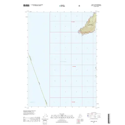
2017 · Sitka A-6 NW
USGS Topo · 1:25,000
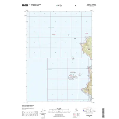
2017 · Sitka B-6 SW
USGS Topo · 1:25,000