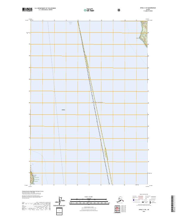
2024 Map of Sitka C-3 SE
USGS Topo · Published 2024About this map
Chatham Strait and the Gulf of Alaska dominate this maritime landscape where the waters of the Inside Passage meet the open sea. This 2024 topographic survey captures the rugged coastline of Admiralty Island, much of which is protected within the Admiralty Island National Monument and the Kootznoowoo Wilderness. The boundary between Sitka and the Hoonah-Angoon Census Area runs through these waters, illustrating the complex jurisdictional divisions of Southeast Alaska. On land, the map highlights topographical markers such as Parker Point and Peninsular Point, both situated within the sprawling Tongass National Forest. This modern record is an essential tool for understanding current conservation boundaries and coastal geography in a region defined by its isolation and maritime economy.
Find a feature on this map
13 named features on this map. Tap any name to fly to it.
Don’t see what you’re looking for? This feature index may not catch every label — zoom into the map to look around manually.
Map Details
Editions of this 2024 Sitka C-3 SE Map
This is the sole edition of this map. No revisions or reprints were ever made.
Other maps of this area

1948 · Sitka B-3
USGS Topo · 1:63,360

1948 · Sitka C-2
USGS Topo · 1:63,360

1948 · Sitka C-3
USGS Topo · 1:63,360

1948 · Sitka B-2
USGS Topo · 1:63,360

1951 · Sitka
USGS Topo · 1:250,000

1951 · Sitka B-3
USGS Topo · 1:63,360

1951 · Sitka B-2
USGS Topo · 1:63,360

1951 · Sitka C-3
USGS Topo · 1:63,360

1951 · Sitka C-2
USGS Topo · 1:63,360

1952 · Sitka
USGS Topo · 1:250,000