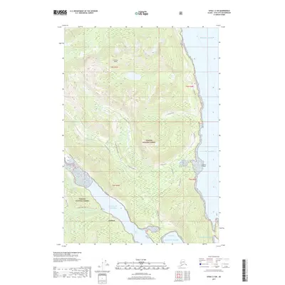
2017 Map of Sitka C-3 SW
USGS Topo · Published 2017About this map
Sitkoh Cannery sits on the southern edge of this coastal landscape, marking a site of maritime industry at the entrance to Sitkoh Bay. This 2017 survey reflects the remote and maritime-dependent character of Chichagof Island, where the tiny settlement of Chatham remains one of the few named outposts. The terrain is dominated by the steep, forested slopes of the Tongass National Forest, which drop sharply into the Gulf of Alaska and the Pacific Ocean. This map preserves the locations of local landmarks and industry footprints in an area where geography dictates the limits of human settlement and transport.
Find a feature on this map
4 named features on this map. Tap any name to fly to it.
Don’t see what you’re looking for? This feature index may not catch every label — zoom into the map to look around manually.
Map Details
Editions of this 2017 Sitka C-3 SW Map
This is the sole edition of this map. No revisions or reprints were ever made.
Other maps of this area

1948 · Sitka B-3
USGS Topo · 1:63,360

1948 · Sitka C-3
USGS Topo · 1:63,360

1951 · Sitka B-4
USGS Topo · 1:63,360

1951 · Sitka C-4
USGS Topo · 1:63,360

1951 · Sitka
USGS Topo · 1:250,000

1951 · Sitka B-3
USGS Topo · 1:63,360

1951 · Sitka C-3
USGS Topo · 1:63,360

1952 · Sitka
USGS Topo · 1:250,000

1964 · Sitka
USGS Topo · 1:250,000
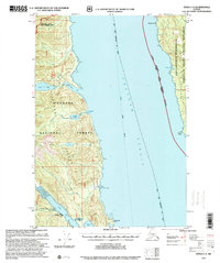
1997 · Sitka C-3
USGS Topo · 1:63,360