
1979 Map of Sitka
USGS Topo · Published 1980About this map
The railroad community of Sitka serves as the focal point of this Clark County landscape, situated along the tracks of the Atchison Topeka and Santa Fe. The late 1970s terrain is defined by a sparse but active industrial footprint, where a wide-reaching Oil and Gas Field and scattered Oil Wells operate alongside traditional ranching and farming operations. To the northwest, the St Josephs and Highland Cem provides a significant touchstone for genealogical research, located near the Center boundary.
Find a feature on this map
11 named features on this map. Tap any name to fly to it.
Don’t see what you’re looking for? This feature index may not catch every label — zoom into the map to look around manually.
Map Details
Editions of this 1979 Sitka Map
This is the sole edition of this map. No revisions or reprints were ever made.
Other maps of this area

1894 · Sitka
USGS Topo · 1:62,500

1896 · Ashland
USGS Topo · 1:125,000

1955 · Pratt
USGS Topo · 1:250,000

1959 · Pratt
USGS Topo · 1:250,000
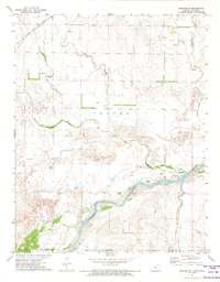
1972 · Ashland SE
USGS Topo · 1:24,000
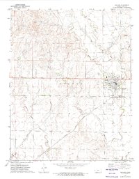
1972 · Ashland
USGS Topo · 1:24,000

1979 · Bloom SE
USGS Topo · 1:24,000

1979 · Sugarloaf
USGS Topo · 1:24,000
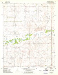
1979 · Sitka SW
USGS Topo · 1:24,000
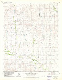
1979 · Lexington
USGS Topo · 1:24,000