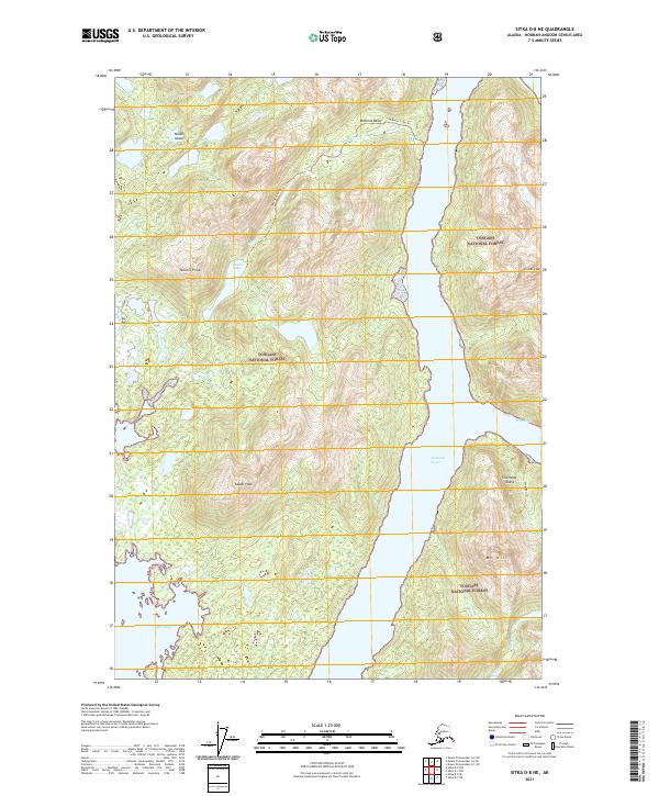
2021 Map of Sitka D-8 NE
USGS Topo · Published 2021About this map
Lisianski Strait carves a deep passage between Yakobi Island and Chichagof Island in this coastal Alaskan landscape. On the western island, the Takanis Lake Trl provides a route through the interior, passing by Takanis Lake and Takanis Peak within the Tongass National Forest. The map documents a primitive network of paths and waterways, including the Stag Bay Trl on the eastern shore of the strait. The northern reaches are defined by Bohemia Basin and Bohemia Cr, while the southern coastline is marked by the protected inlets of Stag Bay and Squid Bay. This survey captures the topographical complexity of the Alexander Archipelago, showing the steep elevations of Yacobi Peak and El Nido Peak as they rise sharply from the Pacific waters.
Find a feature on this map
21 named features on this map. Tap any name to fly to it.
Don’t see what you’re looking for? This feature index may not catch every label — zoom into the map to look around manually.
Map Details
Editions of this 2021 Sitka D-8 NE Map
This is the sole edition of this map. No revisions or reprints were ever made.
Other maps of this area

1948 · Mount Fairweather A-2
USGS Topo · 1:63,360

1948 · Sitka D-8
USGS Topo · 1:63,360

1948 · Mount Fairweather A-1
USGS Topo · 1:63,360

1950 · Sitka D-8
USGS Topo · 1:63,360

1951 · Sitka D-7
USGS Topo · 1:63,360

1951 · Mt Fairweather
USGS Topo · 1:250,000

1951 · Sitka
USGS Topo · 1:250,000

1952 · Sitka
USGS Topo · 1:250,000

1954 · Mount Fairweather A-1
USGS Topo · 1:63,360

1961 · Mt Fairweather
USGS Topo · 1:250,000