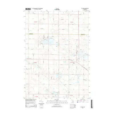
2014 Map of Six Lakes
USGS Topo · Published 2014About this map
Six Lakes stands as a focal point at the intersection of the Flat River and numerous glacial basins in this 2014 survey. The landscape is defined by its namesake chain of water bodies, including First Lake, Second Lake, Third Lake, and Fourth Lake, which were historically vital to the local timber and water drainage patterns. Along the boundary of Mecosta and Montcalm counties, the map reveals a dense network of local cemeteries like Evergreen Cem, Hillcrest Cem, and Morton Cem, providing essential landmarks for genealogical research. Residential developments such as Lake Forest appear near the shores of Lake Montcalm, illustrating the transition from rural agricultural land to recreational and community use. Numerous creeks, including Tamarack Cr and Brimmer Cr, weave through the terrain, feeding into larger features like Big Brimmer Lake and Townline Lake.
Find a feature on this map
59 named features on this map. Tap any name to fly to it.
Don’t see what you’re looking for? This feature index may not catch every label — zoom into the map to look around manually.
Map Details
Editions of this 2014 Six Lakes Map
This is the sole edition of this map. No revisions or reprints were ever made.
Other maps of this area

1954 · Midland
USGS Topo · 1:250,000

1958 · Midland
USGS Topo · 1:250,000

1958 · Big Rapids
USGS Topo · 1:62,500

1959 · Midland
USGS Topo · 1:250,000

1959 · Howard City
USGS Topo · 1:62,500

1964 · Edmore
USGS Topo · 1:24,000

1964 · Six Lakes
USGS Topo · 1:24,000

1964 · Blanchard
USGS Topo · 1:24,000

1964 · Langston
USGS Topo · 1:24,000

1964 · Mecosta
USGS Topo · 1:24,000