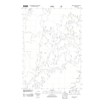
2011 Map of Sixmile Point
USGS Topo · Published 2011About this map
Sixmile Point overlooks a drainage system defined by the Middle Fork Payette River and its numerous tributaries in this 2011 survey of Valley County. The landscape is characterized by a dense network of forest development roads, including Nat For Dev Rd 670 and Nat For Dev Rd 418, which provide access to high-elevation points and secluded recreational sites. Water management and recreation are central to the area, evidenced by the Herrick Reservoir in the north and several developed sites along the river corridors. The convergence of Sixmile Creek, West Fork Sixmile Creek, and Bacon Creek illustrates the complex topography of the Boise National Forest region. For those tracing the geography of Central Idaho, this map details the infrastructure used for modern land management and back-country access, from Trail Creek Campground to the depths of Rocky Canyon.
Find a feature on this map
30 named features on this map. Tap any name to fly to it.
Don’t see what you’re looking for? This feature index may not catch every label — zoom into the map to look around manually.
Map Details
Editions of this 2011 Sixmile Point Map
This is the sole edition of this map. No revisions or reprints were ever made.
Other maps of this area

1894 · Squaw Creek
USGS Topo · 1:125,000

1909 · Garden Valley
USGS Topo · 1:125,000

1953 · Smiths Ferry
USGS Topo · 1:62,500

1953 · Boiling Springs
USGS Topo · 1:62,500

1953 · Banks
USGS Topo · 1:62,500

1955 · Baker
USGS Topo · 1:250,000

1957 · Challis
USGS Topo · 1:250,000

1959 · Baker
USGS Topo · 1:250,000

1959 · Garden Valley
USGS Topo · 1:62,500

1960 · Challis
USGS Topo · 1:250,000