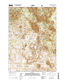
2014 Map of Sixteen Butte
USGS Topo · Published 2014About this map
Deschutes National Forest encompasses this high-elevation landscape on the border of Deschutes and Lake counties. The terrain is defined by a series of volcanic features, including Sixteen Butte, Wigtop Butte, and Horseshoe Butte. These peaks rise from a high plateau that transitions in the south toward the unique geological formations of The Devils Garden. A network of Forest Service roads, such as Natl Forest Develop Road 22 Rd and Natl Forest Develop Road 23 Rd, provides access through the timber and volcanic flats. The absence of permanent settlements and the concentration of named buttes like Poly Top Butte and Deadlog Butte reflect the remote, managed nature of this interior Oregon wilderness during the early 21st century.
Find a feature on this map
17 named features on this map. Tap any name to fly to it.
Don’t see what you’re looking for? This feature index may not catch every label — zoom into the map to look around manually.
Map Details
Editions of this 2014 Sixteen Butte Map
This is the sole edition of this map. No revisions or reprints were ever made.
Other maps of this area

1931 · Newberry Crater
USGS Topo · 1:125,000

1935 · Newberry Crater
USGS Topo · 1:125,000

1955 · Crescent
USGS Topo · 1:250,000

1957 · Crescent
USGS Topo · 1:250,000

1958 · Crescent
USGS Topo · 1:250,000

1970 · Crescent
USGS Topo · 1:250,000

1979 · Crescent
USGS Topo · 1:100,000

1981 · Fox Butte
USGS Topo · 1:24,000

1981 · Hogback Butte
USGS Topo · 1:24,000

1981 · Cougar Mtn
USGS Topo · 1:24,000