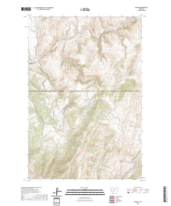
2024 Map of Sixteen
USGS Topo · Published 2024About this map
Sixteen stands as the primary settlement focus within this mountain landscape along the border of Meagher and Gallatin counties. The geography is defined by a complex network of waterways that carve through the high terrain, most notably Sixteenmile Creek and its various tributaries including Battle Creek, Indian Creek, and Rye Grass Creek. This 2024 survey illustrates the modern drainage patterns and transport routes that follow the natural contours of the land, such as Sixteen Mile Rd. The prominent Elkhorn Ridge serves as a central topographical anchor, separating the northern and southern drainage basins. Farther south, the Middle Fork Sixteenmile Creek and Hatfield Creek reflect the continued ruggedness of the Montana backcountry, where land divisions are marked by township and range boundaries like t6n r6e and t5n r7e.
Find a feature on this map
21 named features on this map. Tap any name to fly to it.
Don’t see what you’re looking for? This feature index may not catch every label — zoom into the map to look around manually.
Map Details
Editions of this 2024 Sixteen Map
This is the sole edition of this map. No revisions or reprints were ever made.
Other maps of this area

1886 · Fort Logan
USGS Topo · 1:250,000

1886 · Little Belt Mts.
USGS Topo · 1:250,000

1894 · Little Belt Mts.
USGS Topo · 1:250,000

1897 · Little Belt Mts.
USGS Topo · 1:250,000

1898 · Little Belt Mts.
USGS Topo · 1:250,000

1902 · Little Belt Mts.
USGS Topo · 1:250,000

1948 · White Sulphur Springs
USGS Topo · 1:250,000

1948 · Sixteen
USGS Topo · 1:24,000

1949 · Maudlow
USGS Topo · 1:62,500

1951 · Sixteen NE
USGS Topo · 1:24,000